UN/LOCODE hub · Norway
NOVIL

Vikedal

59.5000°, 5.9167°
393
Population
1
Transport functions

Transport Functions

Port
UN/LOCODE

Hub Profile

Place type
Populated place
GeoNames
Region
Rogaland
GeoNames
Population
393
GeoNames
Time zone
Europe/Oslo
GeoNames
Elevation
5 m
GeoNames

Location

Location of NOVIL
Natural Earth 10m (public domain) · Rogaland · NOVIL · 59.50, 5.92GoogleOSMYandex

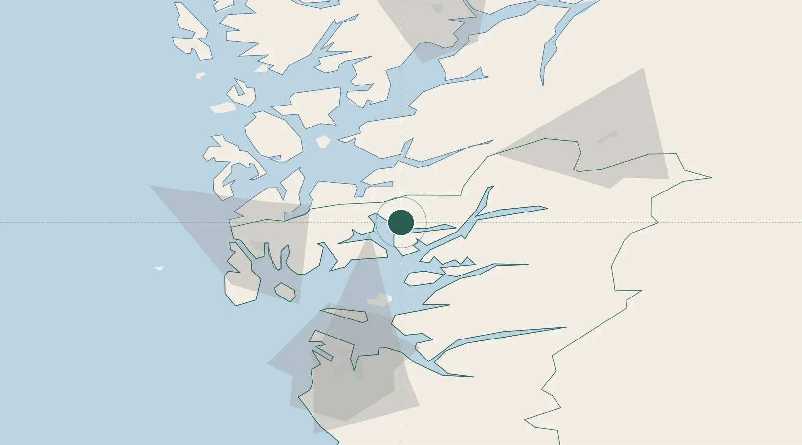
Nearby Logistics Neighbours

Cities
  1. 1Sandeid7 km
  2. 2Vats11 km
  3. 3Raunes - Vindafjord12 km
  4. 4Ølen13 km
  5. 5Etne17 km
Nearest neighbours — logibook spatial index (haversine) over the source coordinates
Ports
  1. 1Sauda28 km
  2. 2Karsto34 km
  3. 3Mosterhamn37 km
  4. 4Leirvik37 km
  5. 5Haugesund39 km
Nearest neighbours — logibook spatial index (haversine) over the source coordinates
Airports
  1. 1Haugesund Airport, Karmøy44 km
  2. 2Stord Airport, Sørstokken46 km
  3. 3Stavanger Airport, Sola71 km
  4. 4Bergen Airport, Flesland96 km
  5. 5Notodden Airport186 km
Nearest neighbours — logibook spatial index (haversine) over the source coordinates
Trade Zones
  1. 1Gothenburg Boundless Customs Warehouse395 km
  2. 2Freeport of Kiel630 km
  3. 3Freeport of Cuxhaven (Freihafen Cuxhaven)651 km
  4. 4North Eastern Enterprise Zone677 km
  5. 5Freeport of Emden690 km
Nearest neighbours — logibook spatial index (haversine) over the source coordinates
DatabookThe Record of Consolidated Knowledge
Norway beyond logistics?
Browse databook

All Sources

LocationsUN/LOCODE
UN/LOCODE — free
LocationsGeoNames
CC BY 4.0
Portsthe NGA World Port Index
Public domain (US gov)
AirportsOurAirports
Public domain
Trade Zonesthe World Bank SEZ database
CC BY 4.0
Trade ZonesOpen Zone Map
CC BY
← Norway locations