UN/LOCODE hub · Norway
NOSAX

Sand

59.4833°, 6.2500°
1
Transport functions

Transport Functions

Port
UN/LOCODE

Hub Profile

Place type
Provincial seat
GeoNames
Region
Rogaland
GeoNames
Time zone
Europe/Oslo
GeoNames
Elevation
8 m
GeoNames

Location

Location of NOSAX
Natural Earth 10m (public domain) · Rogaland · NOSAX · 59.48, 6.25GoogleOSMYandex

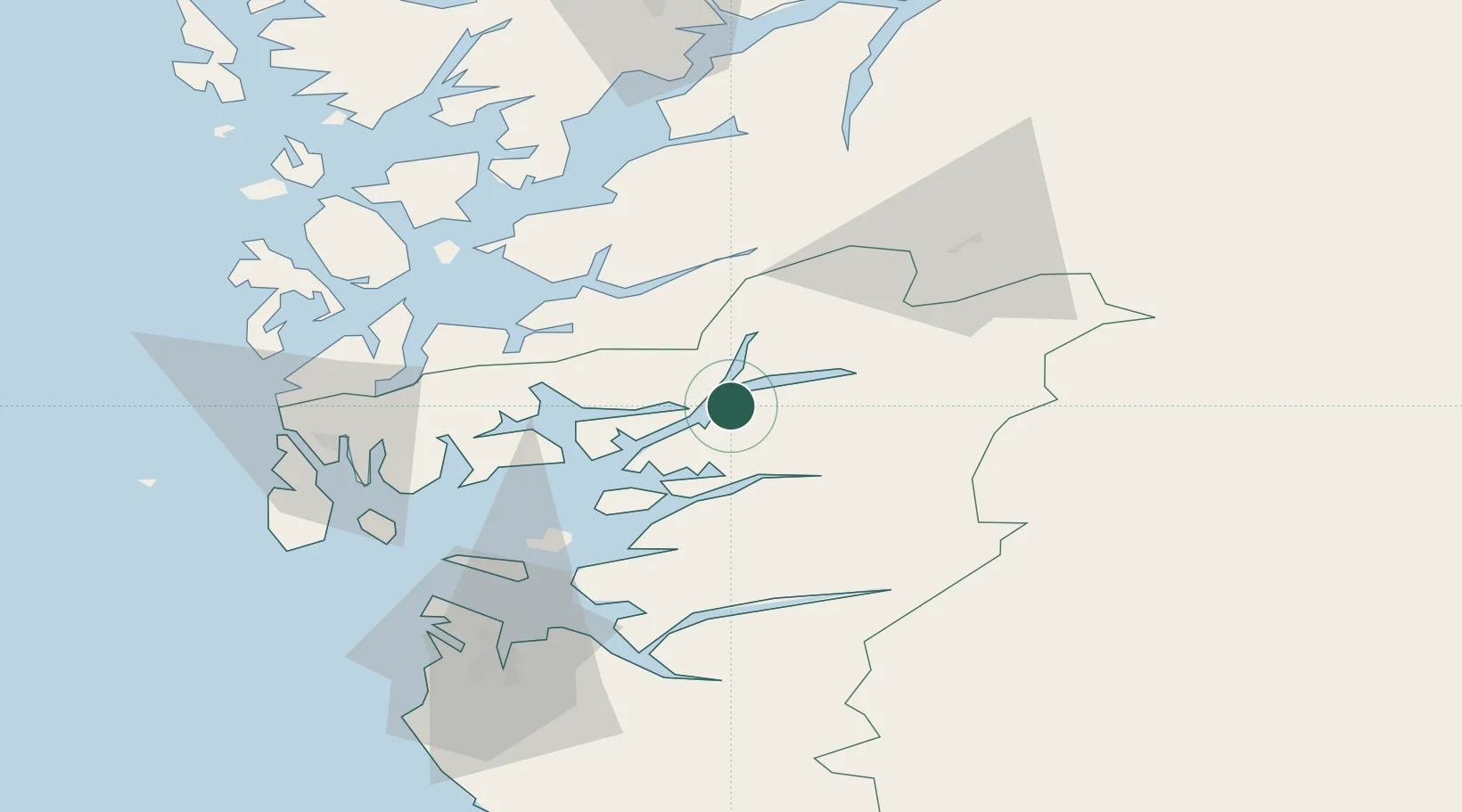
Nearby Logistics Neighbours

Cities
  1. 1Erfjord - Suldal17 km
  2. 2Vikedal19 km
  3. 3Sauda19 km
  4. 4Jelsa21 km
  5. 5Skiftun23 km
Nearest neighbours — logibook spatial index (haversine) over the source coordinates
Ports
  1. 1Sauda18 km
  2. 2Karsto48 km
  3. 3Husnes52 km
  4. 4Leirvik52 km
  5. 5Mosterhamn54 km
Nearest neighbours — logibook spatial index (haversine) over the source coordinates
Airports
  1. 1Haugesund Airport, Karmøy61 km
  2. 2Stord Airport, Sørstokken62 km
  3. 3Stavanger Airport, Sola76 km
  4. 4Bergen Airport, Flesland107 km
  5. 5Notodden Airport167 km
Nearest neighbours — logibook spatial index (haversine) over the source coordinates
Trade Zones
  1. 1Gothenburg Boundless Customs Warehouse378 km
  2. 2Jönköping Free Zone492 km
  3. 3Freeport of Copenhagen- Nordhavn564 km
  4. 4MTS Malmö Transport and Spedition593 km
  5. 5Freeport of Kiel620 km
Nearest neighbours — logibook spatial index (haversine) over the source coordinates
DatabookThe Record of Consolidated Knowledge
Norway beyond logistics?
Browse databook

All Sources

LocationsUN/LOCODE
UN/LOCODE — free
Portsthe NGA World Port Index
Public domain (US gov)
AirportsOurAirports
Public domain
Trade Zonesthe World Bank SEZ database
CC BY 4.0
Trade ZonesOpen Zone Map
CC BY
← Norway locations