Seaport · Norway

HusnesNOHUS

59.8775°, 5.7622°
12.1
Port liner connectivity
Husnes is also a UN/LOCODE logistics hub →

Channel & Berth Profile

SEA LEVEL (CD)CHANNEL BEDCargo pier · 9.4 mAnchorage · 15.5 m
NGA World Port Index

Pilotage, Tugs & Services

Pilotage compulsoryYES
Tug assistanceYES
Salvage tugsNO
Potable waterYES
Diesel bunkersNO
MedicalYES
NGA World Port Index

Facilities & Capabilities

ContainerNO
Ro-RoNO
Liquid bulkNO
Dry bulkYES
Oil terminalNO
Break bulkYES
Dry dock
RepairsNO
BunkeringNO
Rail link
Dangerous cargo
ISPS security
NGA World Port Index

Harbour Specifications

Harbour size
Very Small
NGA World Port Index
Harbour type
Coastal (Breakwater)
NGA World Port Index
Shelter
Good
NGA World Port Index
Water body
North Sea; North Atlantic Ocean
NGA World Port Index
Tidal range
1 m
NGA World Port Index
Overhead limit
Yes
NGA World Port Index
Pilotage
Yes
NGA World Port Index

Liner Connectivity

12.1
PLSCI

Port Liner Shipping Connectivity Index for Husnes, as published by UNCTAD for the latest available quarter. Higher values indicate stronger scheduled liner-shipping integration.

Shown relative to the highest per-port PLSCI in the dataset (1,657.9).
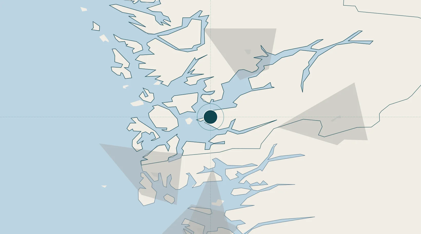
UNCTAD · Port Liner Shipping Connectivity Index

Location

Location of NOHUS
Natural Earth 10m (public domain) · Hordaland · NOHUS · 59.88, 5.76GoogleOSMYandex

Nearby Logistics Neighbours

Ports
  1. 1Leirvik20 km
  2. 2Mosterhamn29 km
  3. 3Sauda42 km
  4. 4Odda50 km
  5. 5Haakonsvern59 km
Nearest neighbours — logibook spatial index (haversine) over the source coordinates
Cities
  1. 1Herøysundet5 km
  2. 2Sunde6 km
  3. 3Uskedalen8 km
  4. 4Halsnøy9 km
  5. 5Høylandsbygda11 km
Nearest neighbours — logibook spatial index (haversine) over the source coordinates
Airports
  1. 1Stord Airport, Sørstokken25 km
  2. 2Bergen Airport, Flesland55 km
  3. 3Haugesund Airport, Karmøy67 km
  4. 4Stavanger Airport, Sola112 km
  5. 5Sogndal Airport, Haukåsen161 km
Nearest neighbours — logibook spatial index (haversine) over the source coordinates
Trade Zones
  1. 1Gothenburg Boundless Customs Warehouse424 km
  2. 2Freeport of Kiel671 km
  3. 3Freeport of Cuxhaven (Freihafen Cuxhaven)694 km
  4. 4North Eastern Enterprise Zone702 km
  5. 5Tees Valley Enterprise Zone720 km
Nearest neighbours — logibook spatial index (haversine) over the source coordinates
DatabookThe Record of Consolidated Knowledge
Norway beyond logistics?
Browse databook

All Sources

Portsthe NGA World Port Index
Public domain (US gov)
Logistics performanceUNCTAD
CC BY 3.0 IGO
AirportsOurAirports
Public domain
LocationsUN/LOCODE
UN/LOCODE — free
Trade Zonesthe World Bank SEZ database
CC BY 4.0
Trade ZonesOpen Zone Map
CC BY
← Norway ports