Medium airport · Norway

Haugesund Airport, KarmøyENHD
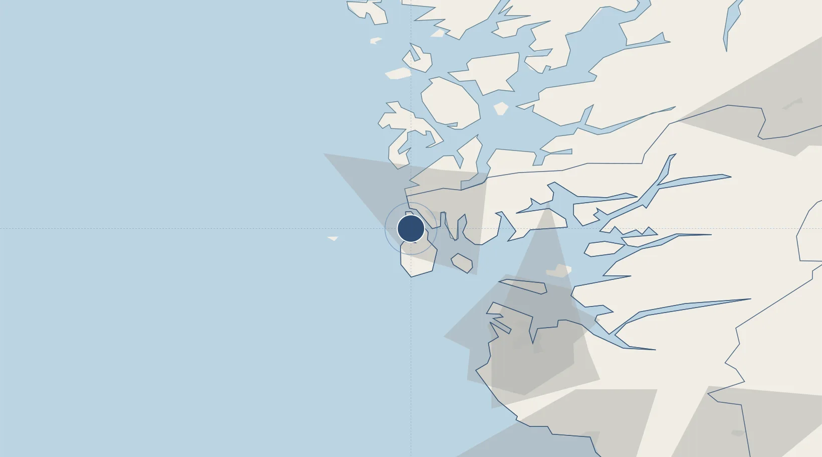
59.3453°, 5.2084°
6,957 ft
Longest runway
1
Runways
86 ft
Elevation

Runway & Layout

Haugesund Airport, Karmøy runway & taxiway layout
Runway & taxiway layout — OpenStreetMap (ODbL) / OurAirports

Radio Frequencies

ATIS
118.175 MHz
Karmøy ATIS
TWR
120.5 MHz
Karmøy Tower
OurAirports

Navaids

KRM VOR-DME Karmoy 115.15 MHz
OurAirports

Runways · 1

RunwayDimensions SurfaceTrue headingLit
13/31 6,957 × 148ft Asphalt 134°
OurAirports

Airport Specifications

IATA code
HAU
OurAirports
ICAO code
ENHD
OurAirports
Airport class
Medium airport
OurAirports
Scheduled service
Yes
OurAirports
Runway surface
Asphalt
OurAirports
Served city
Karmøy
OurAirports

Location

Location of ENHD
Natural Earth 10m (public domain) · Rogaland · ENHD · 59.35, 5.21GoogleOSMYandex

Nearby Logistics Neighbours

Airports
  1. 1Stord Airport, Sørstokken50 km
  2. 2Stavanger Airport, Sola58 km
  3. 3Bergen Airport, Flesland105 km
  4. 4Kristiansand Airport209 km
  5. 5Notodden Airport228 km
Nearest neighbours — logibook spatial index (haversine) over the source coordinates
Cities
  1. 1Avaldsnes3 km
  2. 2Bøneset - Karmøy5 km
  3. 3Sund - Karmøy5 km
  4. 4Husøy - Karmøy5 km
  5. 5Haugesund6 km
Nearest neighbours — logibook spatial index (haversine) over the source coordinates
Ports
  1. 1Haugesund8 km
  2. 2Akrahamn9 km
  3. 3Kopervik9 km
  4. 4Karsto20 km
  5. 5Skudeneshavn23 km
Nearest neighbours — logibook spatial index (haversine) over the source coordinates
Trade Zones
  1. 1Gothenburg Boundless Customs Warehouse424 km
  2. 2Freeport of Kiel633 km
  3. 3North Eastern Enterprise Zone637 km
  4. 4Freeport of Cuxhaven (Freihafen Cuxhaven)647 km
  5. 5Tees Valley Enterprise Zone654 km
Nearest neighbours — logibook spatial index (haversine) over the source coordinates
DatabookThe Record of Consolidated Knowledge
Norway beyond logistics?
Browse databook

All Sources

AirportsOurAirports
Public domain
Portsthe NGA World Port Index
Public domain (US gov)
LocationsUN/LOCODE
UN/LOCODE — free
Trade Zonesthe World Bank SEZ database
CC BY 4.0
Trade ZonesOpen Zone Map
CC BY
InfrastructureOpenStreetMap
ODbL 1.0
← Norway airports