Channel & Berth Profile
Pilotage, Tugs & Services
Pilotage compulsoryNO
Pilotage availableYES
Tug assistanceYES
Potable waterYES
MedicalYES
Garbage disposalYES
Facilities & Capabilities
ContainerNO
Ro-RoYES
Liquid bulkNO
Dry bulkYES
Oil terminalNO
Break bulkYES
Dry dockNO
RepairsNO
Bunkering—
Rail link—
Dangerous cargo—
ISPS security—
Harbour Specifications
Harbour size
Very Small
Harbour type
Coastal (Natural)
Shelter
Good
Water body
North Sea; North Atlantic Ocean
Tidal range
1 m
Overhead limit
Yes
Pilotage
No
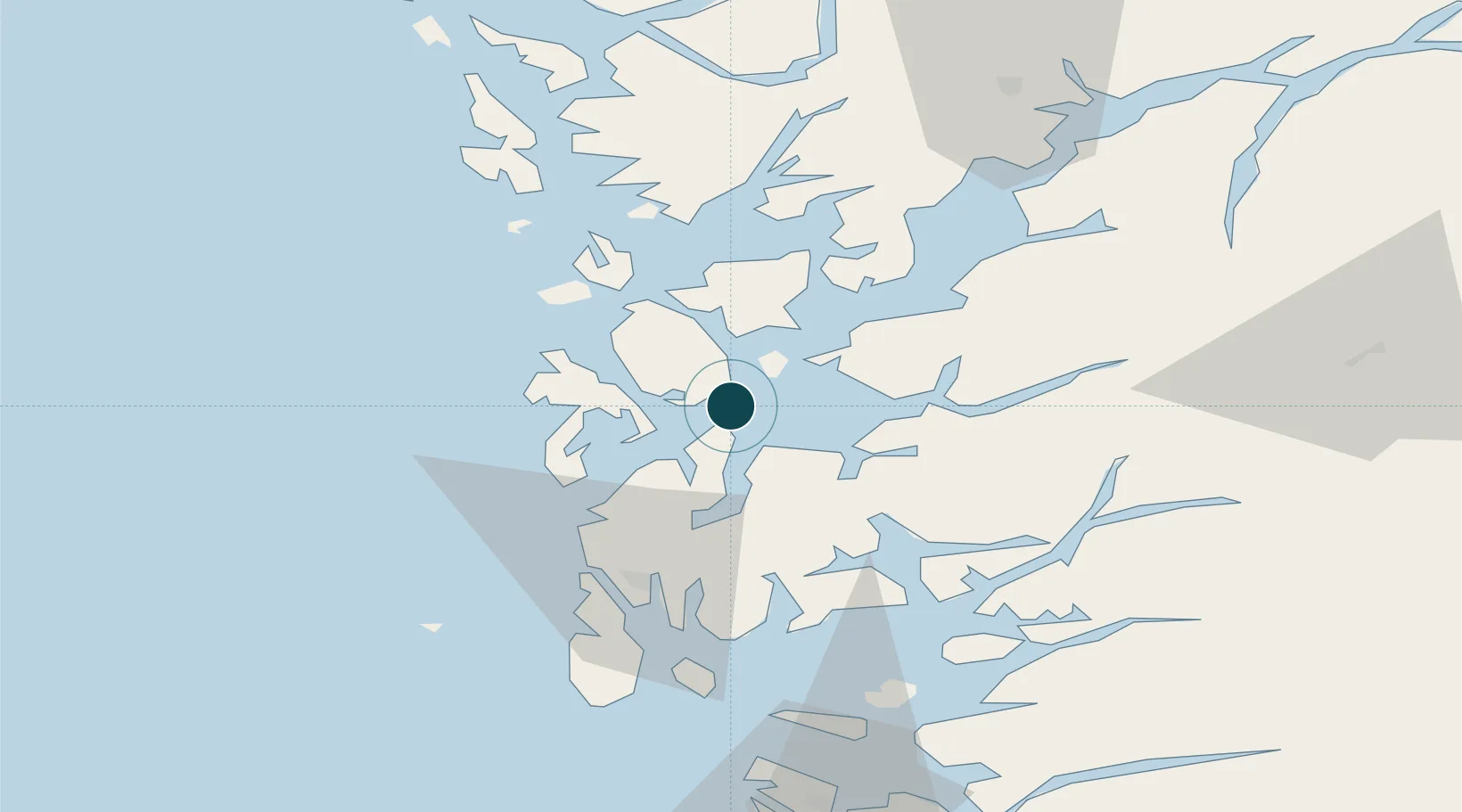
Location
Nearby Logistics Neighbours
Ports
- 1Mosterhamn9 km
- 2Husnes20 km
- 3Haugesund41 km
- 4Sauda49 km
- 5Kopervik54 km
Cities
- 1Stord base1 km
- 2Stord1 km
- 3Valevåg7 km
- 4Halsnøy13 km
- 5Rubbestadneset14 km
Airports
- 1Stord Airport, Sørstokken10 km
- 2Haugesund Airport, Karmøy49 km
- 3Bergen Airport, Flesland62 km
- 4Stavanger Airport, Sola98 km
- 5Sogndal Airport, Haukåsen180 km
Trade Zones
DatabookThe Record of Consolidated Knowledge
Norway beyond logistics?