Medium airport · Norway

Stord Airport, SørstokkenENSO
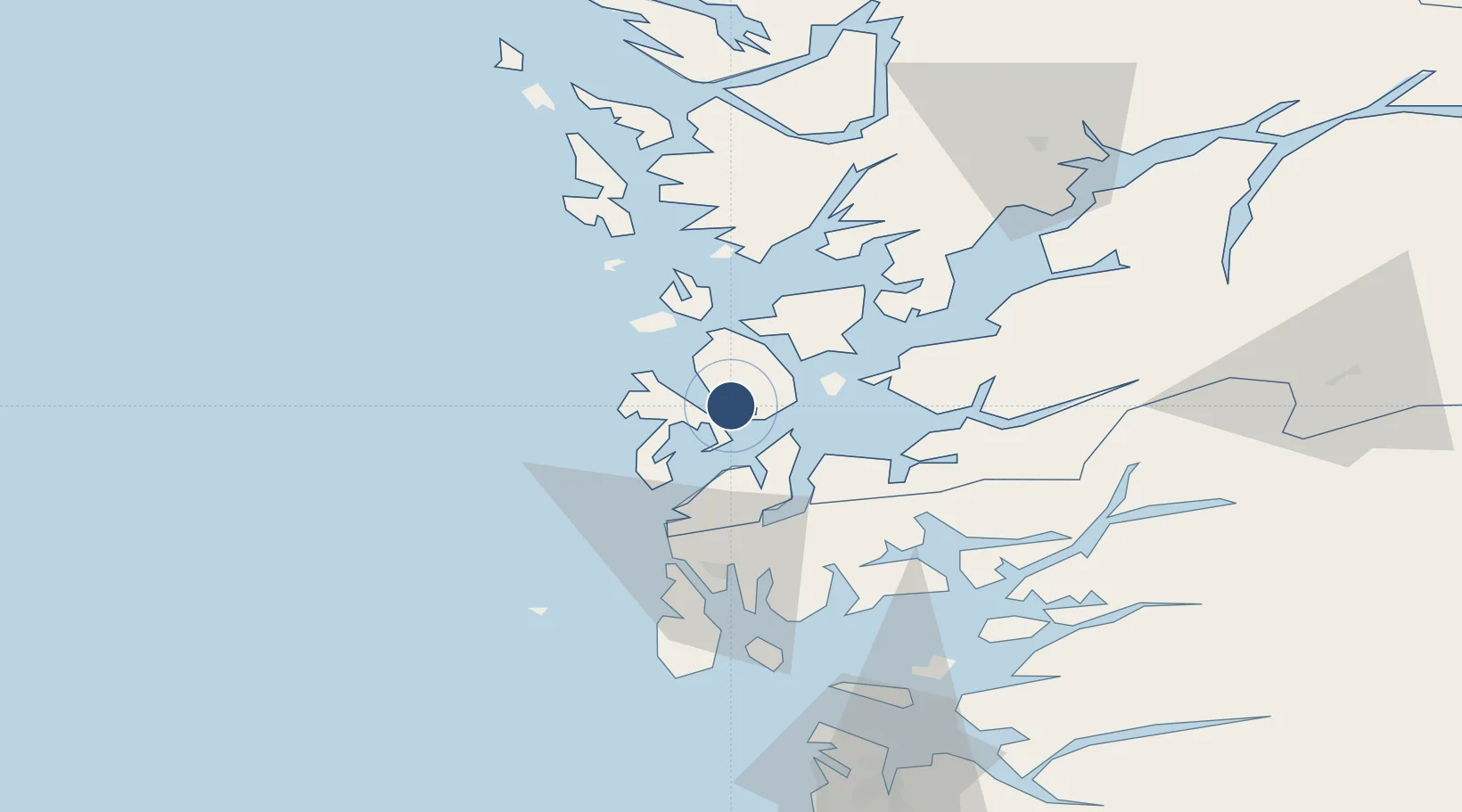
59.7919°, 5.3408°
3,937 ft
Longest runway
1
Runways
160 ft
Elevation

Runway & Layout

Stord Airport, Sørstokken runway & taxiway layout
Runway & taxiway layout — OpenStreetMap (ODbL) / OurAirports

Radio Frequencies

AFIS
120.2 MHz
INFO
OurAirports

Navaids

STD VOR-DME Stord 113.40 MHz
OurAirports

Runways · 1

RunwayDimensions SurfaceTrue headingLit
14/32 3,937 × 98ft Asphalt 145°
OurAirports

Airport Specifications

IATA code
SRP
OurAirports
ICAO code
ENSO
OurAirports
Airport class
Medium airport
OurAirports
Scheduled service
Yes
OurAirports
Runway surface
Asphalt
OurAirports
Served city
Leirvik
OurAirports

Location

Location of ENSO
Natural Earth 10m (public domain) · Hordaland · ENSO · 59.79, 5.34GoogleOSMYandex

Nearby Logistics Neighbours

Airports
  1. 1Haugesund Airport, Karmøy50 km
  2. 2Bergen Airport, Flesland56 km
  3. 3Stavanger Airport, Sola103 km
  4. 4Førde Airport, Bringeland179 km
  5. 5Sogndal Airport, Haukåsen181 km
Nearest neighbours — logibook spatial index (haversine) over the source coordinates
Cities
  1. 1Rubbestadneset4 km
  2. 2Stord base9 km
  3. 3Stord9 km
  4. 4Leirvik9 km
  5. 5Bremnes10 km
Nearest neighbours — logibook spatial index (haversine) over the source coordinates
Ports
  1. 1Leirvik10 km
  2. 2Mosterhamn11 km
  3. 3Husnes25 km
  4. 4Haugesund43 km
  5. 5Kopervik57 km
Nearest neighbours — logibook spatial index (haversine) over the source coordinates
Trade Zones
  1. 1Gothenburg Boundless Customs Warehouse439 km
  2. 2Freeport of Kiel673 km
  3. 3North Eastern Enterprise Zone679 km
  4. 4Freeport of Cuxhaven (Freihafen Cuxhaven)692 km
  5. 5Tees Valley Enterprise Zone698 km
Nearest neighbours — logibook spatial index (haversine) over the source coordinates
DatabookThe Record of Consolidated Knowledge
Norway beyond logistics?
Browse databook

All Sources

AirportsOurAirports
Public domain
Portsthe NGA World Port Index
Public domain (US gov)
LocationsUN/LOCODE
UN/LOCODE — free
Trade Zonesthe World Bank SEZ database
CC BY 4.0
Trade ZonesOpen Zone Map
CC BY
InfrastructureOpenStreetMap
ODbL 1.0
← Norway airports