Channel & Berth Profile
Pilotage, Tugs & Services
Pilotage compulsoryYES
Pilotage availableYES
Tug assistanceNO
Salvage tugsNO
Potable waterYES
Facilities & Capabilities
ContainerNO
Ro-RoYES
Liquid bulkYES
Dry bulkYES
Oil terminalNO
Break bulkYES
Dry dock—
RepairsNO
BunkeringYES
Rail link—
Dangerous cargo—
ISPS security—
Harbour Specifications
Harbour size
Very Small
Harbour type
River (Basins)
Shelter
Fair
Water body
North Sea; North Atlantic Ocean
Tidal range
1 m
Pilotage
Yes
Liner Connectivity
10.1
PLSCI
Port Liner Shipping Connectivity Index for Odda, as published by UNCTAD for the latest available quarter. Higher values indicate stronger scheduled liner-shipping integration.
Shown relative to the highest per-port PLSCI in the dataset (1,657.9).
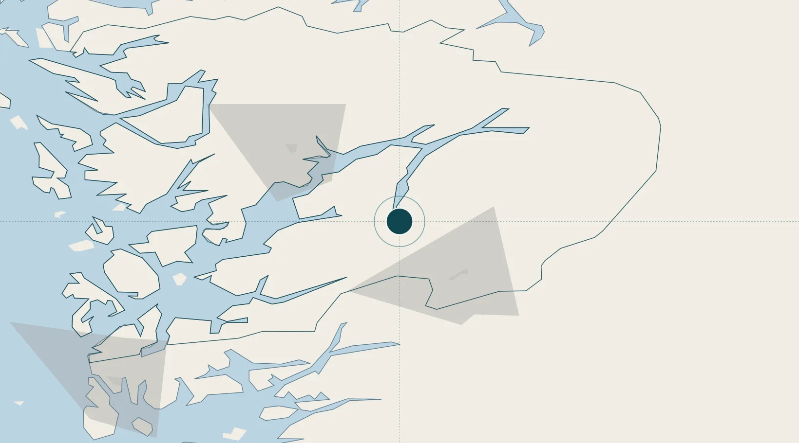
Location
Nearby Logistics Neighbours
Ports
- 1Norheimsund37 km
- 2Husnes50 km
- 3Sauda52 km
- 4Vaksdal62 km
- 5Leirvik69 km
Cities
- 1Tyssedal2 km
- 2Hovland16 km
- 3Ullensvang25 km
- 4Jondal25 km
- 5Kinsarvik32 km
Airports
- 1Stord Airport, Sørstokken75 km
- 2Bergen Airport, Flesland76 km
- 3Haugesund Airport, Karmøy112 km
- 4Sogndal Airport, Haukåsen122 km
- 5Stavanger Airport, Sola145 km
Trade Zones
- 1Gothenburg Boundless Customs Warehouse403 km
- 2Jönköping Free Zone505 km
- 3Freeport of Copenhagen- Nordhavn604 km
- 4MTS Malmö Transport and Spedition632 km
- 5Freeport of Kiel677 km
DatabookThe Record of Consolidated Knowledge
Norway beyond logistics?