Transport Functions
Port
Road
Hub Profile
Place type
Provincial seat
Region
Rogaland
Population
4,174
Time zone
Europe/Oslo
Elevation
11 m
Logistics facilities
1
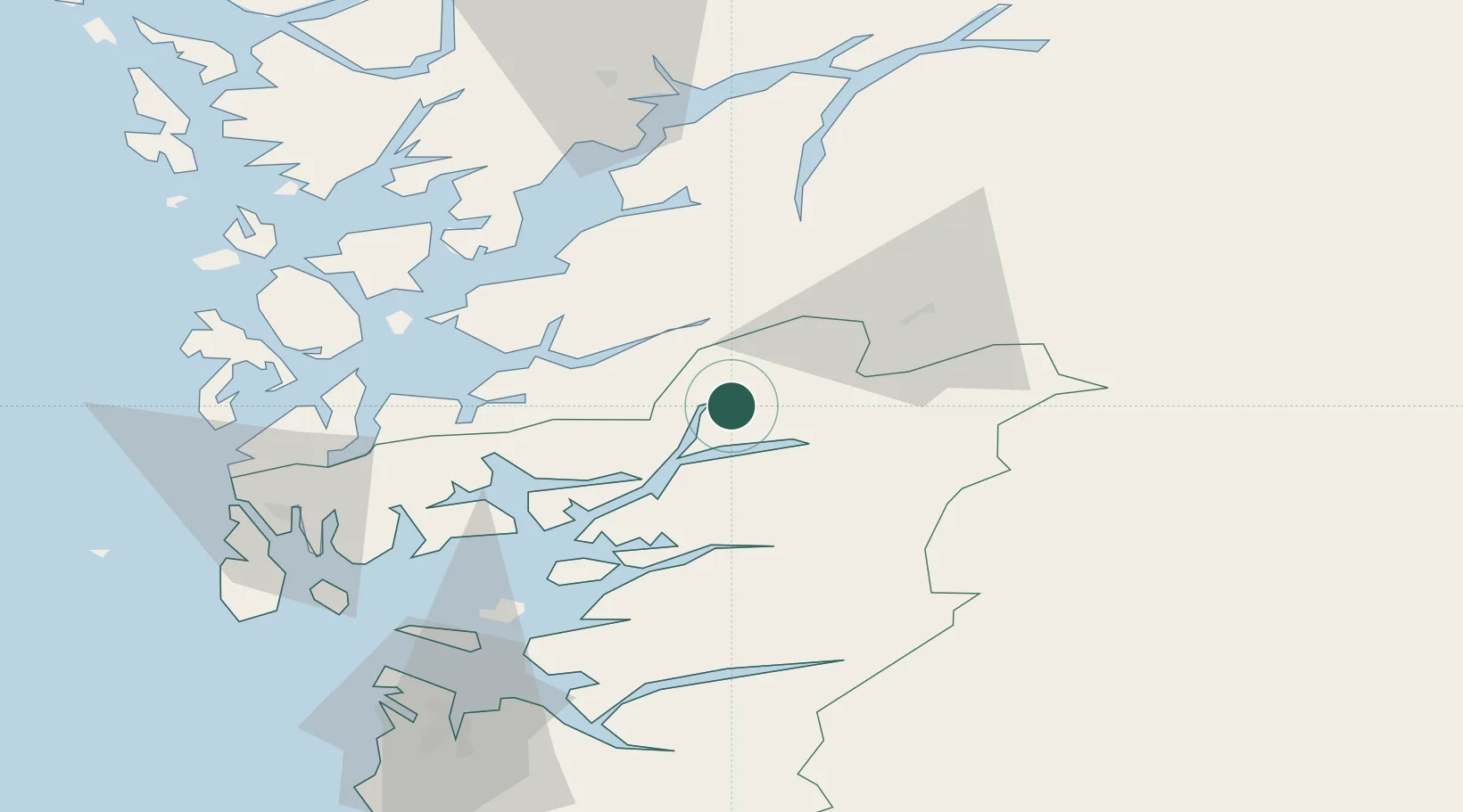
Location
Nearby Logistics Neighbours
Ports
- 1Husnes42 km
- 2Leirvik50 km
- 3Odda51 km
- 4Mosterhamn55 km
- 5Karsto64 km
Airports
- 1Stord Airport, Sørstokken59 km
- 2Haugesund Airport, Karmøy73 km
- 3Stavanger Airport, Sola95 km
- 4Bergen Airport, Flesland96 km
- 5Notodden Airport161 km
Trade Zones
- 1Gothenburg Boundless Customs Warehouse382 km
- 2Jönköping Free Zone493 km
- 3Freeport of Copenhagen- Nordhavn573 km
- 4MTS Malmö Transport and Spedition602 km
- 5Freeport of Kiel634 km
DatabookThe Record of Consolidated Knowledge
Norway beyond logistics?