Channel & Berth Profile
Pilotage, Tugs & Services
Pilotage compulsoryYES
Pilotage availableYES
Pilotage advisableYES
Tug assistanceYES
Potable waterYES
Diesel bunkersNO
MedicalYES
Facilities & Capabilities
Container—
Ro-Ro—
Liquid bulk—
Dry bulk—
Oil terminal—
Break bulk—
Dry dockNO
RepairsNO
BunkeringNO
Rail link—
Dangerous cargo—
ISPS security—
Harbour Specifications
Harbour size
Medium
Harbour type
Open Roadstead
Shelter
Fair
Water body
North Sea; North Atlantic Ocean
Overhead limit
Yes
Pilotage
Yes
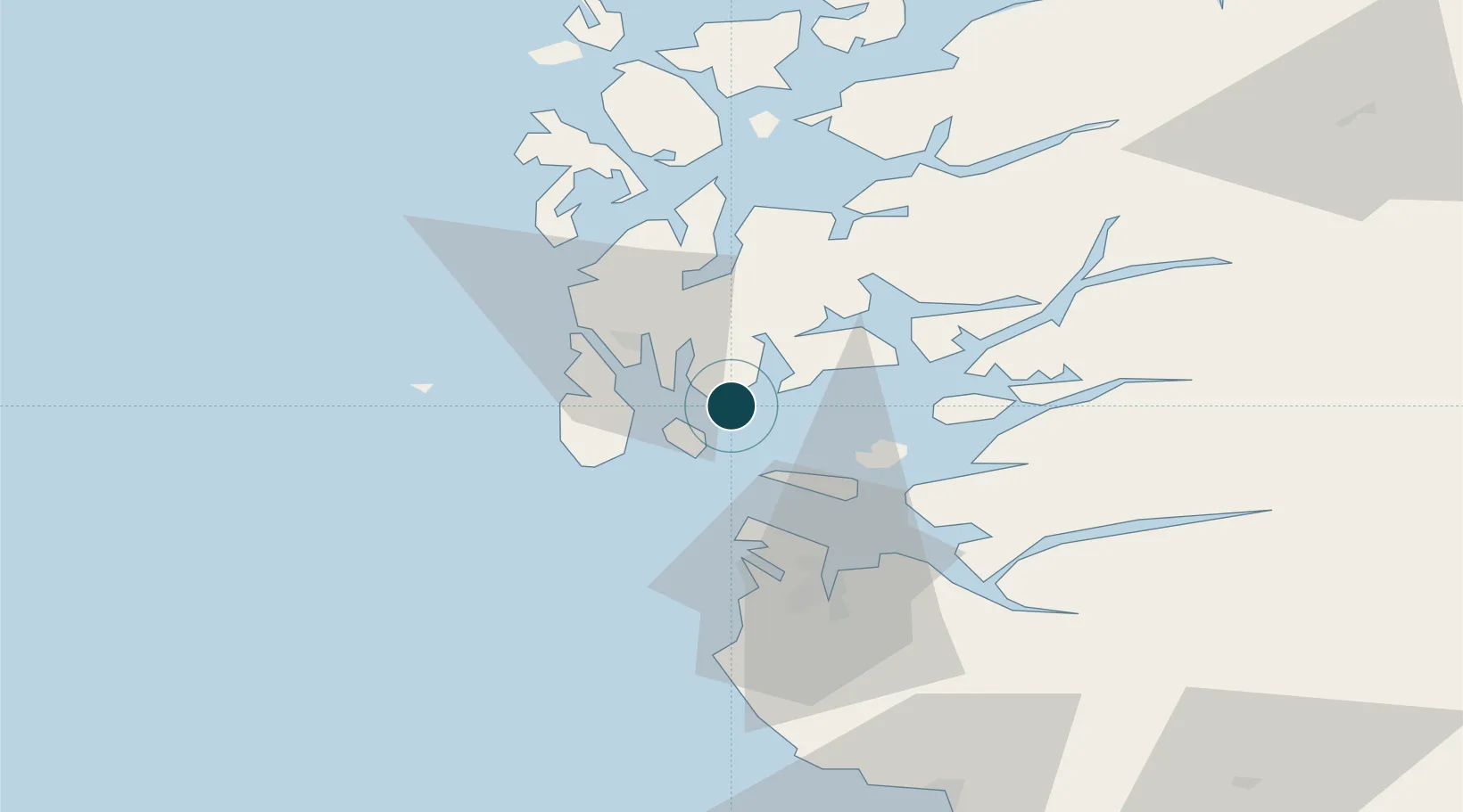
Location
Nearby Logistics Neighbours
Ports
- 1Kopervik12 km
- 2Akrahamn19 km
- 3Skudeneshavn20 km
- 4Haugesund22 km
- 5Stavanger36 km
Airports
- 1Haugesund Airport, Karmøy20 km
- 2Stavanger Airport, Sola44 km
- 3Stord Airport, Sørstokken59 km
- 4Bergen Airport, Flesland115 km
- 5Kristiansand Airport190 km
Trade Zones
DatabookThe Record of Consolidated Knowledge
Norway beyond logistics?