Transport Functions
Port
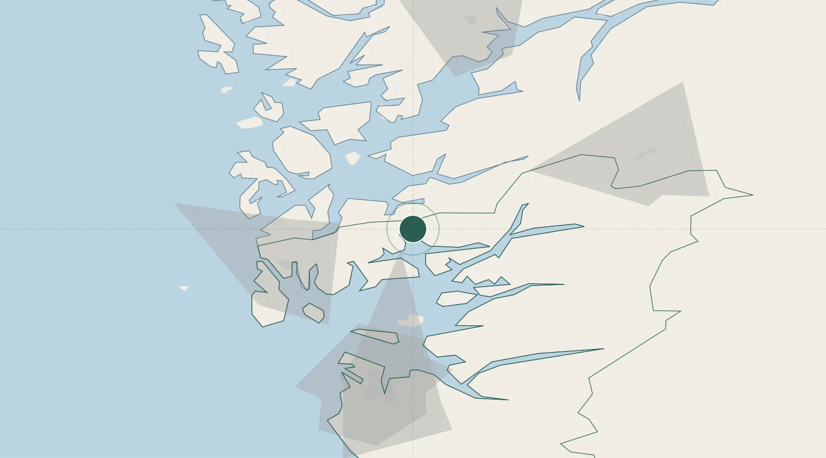
Hub Profile
Place type
Populated place
Region
Rogaland
Population
534
Time zone
Europe/Oslo
Elevation
8 m
Location
Nearby Logistics Neighbours
Cities
- 1Ølen6 km
- 2Vikedal7 km
- 3Vats9 km
- 4Etne12 km
- 5Raunes - Vindafjord14 km
Ports
- 1Mosterhamn30 km
- 2Leirvik30 km
- 3Sauda30 km
- 4Haugesund36 km
- 5Karsto36 km
Airports
- 1Stord Airport, Sørstokken39 km
- 2Haugesund Airport, Karmøy42 km
- 3Stavanger Airport, Sola76 km
- 4Bergen Airport, Flesland90 km
- 5Notodden Airport190 km
Trade Zones
DatabookThe Record of Consolidated Knowledge
Norway beyond logistics?