Transport Functions
Port
Hub Profile
Place type
Provincial seat
Region
Vestland
Population
1,283
Time zone
Europe/Oslo
Elevation
8 m
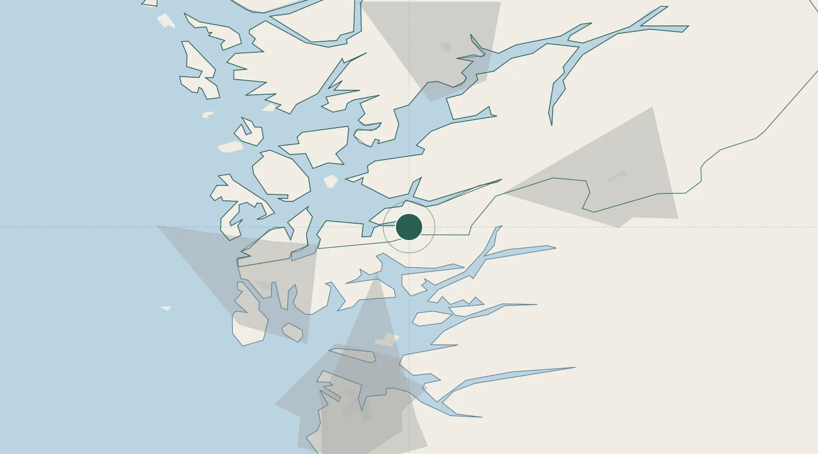
Location
Nearby Logistics Neighbours
Cities
- 1Ølen9 km
- 2Sandeid12 km
- 3Høylandsbygda16 km
- 4Vikedal17 km
- 5Halsnøy20 km
Ports
- 1Sauda24 km
- 2Leirvik27 km
- 3Husnes27 km
- 4Mosterhamn30 km
- 5Haugesund46 km
Airports
- 1Stord Airport, Sørstokken36 km
- 2Haugesund Airport, Karmøy52 km
- 3Bergen Airport, Flesland81 km
- 4Stavanger Airport, Sola87 km
- 5Sogndal Airport, Haukåsen180 km
Trade Zones
DatabookThe Record of Consolidated Knowledge
Norway beyond logistics?