UN/LOCODE hub · Norway
NOOLN

Ølen

59.6000°, 5.8000°
1
Transport functions

Transport Functions

Port
UN/LOCODE

Hub Profile

Region
11
GeoNames

Location

Location of NOOLN
Natural Earth 10m (public domain) · 11 · NOOLN · 59.60, 5.80GoogleOSMYandex

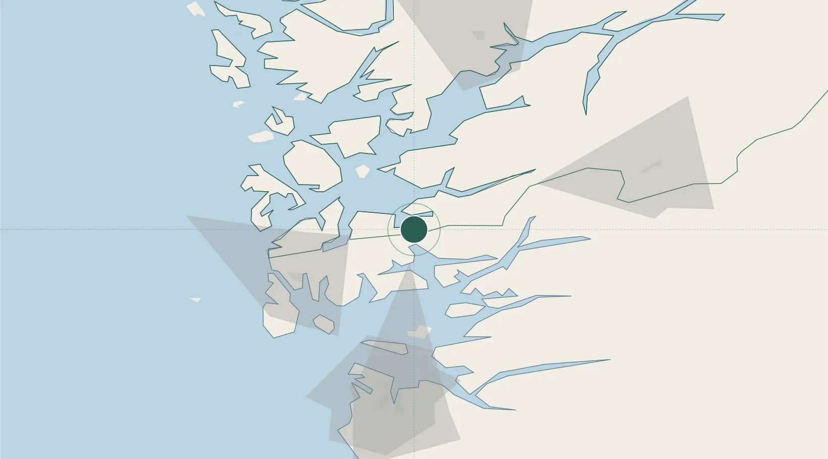
Nearby Logistics Neighbours

Cities
  1. 1Sandeid6 km
  2. 2Etne9 km
  3. 3Vikedal13 km
  4. 4Osnes - Vindafjord13 km
  5. 5Vats14 km
Nearest neighbours — logibook spatial index (haversine) over the source coordinates
Ports
  1. 1Leirvik25 km
  2. 2Mosterhamn26 km
  3. 3Sauda31 km
  4. 4Husnes31 km
  5. 5Haugesund37 km
Nearest neighbours — logibook spatial index (haversine) over the source coordinates
Airports
  1. 1Stord Airport, Sørstokken34 km
  2. 2Haugesund Airport, Karmøy44 km
  3. 3Stavanger Airport, Sola81 km
  4. 4Bergen Airport, Flesland84 km
  5. 5Sogndal Airport, Haukåsen188 km
Nearest neighbours — logibook spatial index (haversine) over the source coordinates
Trade Zones
  1. 1Gothenburg Boundless Customs Warehouse406 km
  2. 2Freeport of Kiel642 km
  3. 3Freeport of Cuxhaven (Freihafen Cuxhaven)664 km
  4. 4North Eastern Enterprise Zone681 km
  5. 5Tees Valley Enterprise Zone697 km
Nearest neighbours — logibook spatial index (haversine) over the source coordinates
DatabookThe Record of Consolidated Knowledge
Norway beyond logistics?
Browse databook

All Sources

LocationsUN/LOCODE
UN/LOCODE — free
Portsthe NGA World Port Index
Public domain (US gov)
AirportsOurAirports
Public domain
Trade Zonesthe World Bank SEZ database
CC BY 4.0
Trade ZonesOpen Zone Map
CC BY
← Norway locations