Channel & Berth Profile
Pilotage, Tugs & Services
Potable waterYES
Facilities & Capabilities
Container—
Ro-Ro—
Liquid bulk—
Dry bulk—
Oil terminal—
Break bulk—
Dry dock—
Repairs—
BunkeringYES
Rail link—
Dangerous cargo—
ISPS security—
Harbour Specifications
Harbour size
Very Small
Harbour type
Coastal (Natural)
Shelter
Good
Water body
North Sea; North Atlantic Ocean
Overhead limit
No
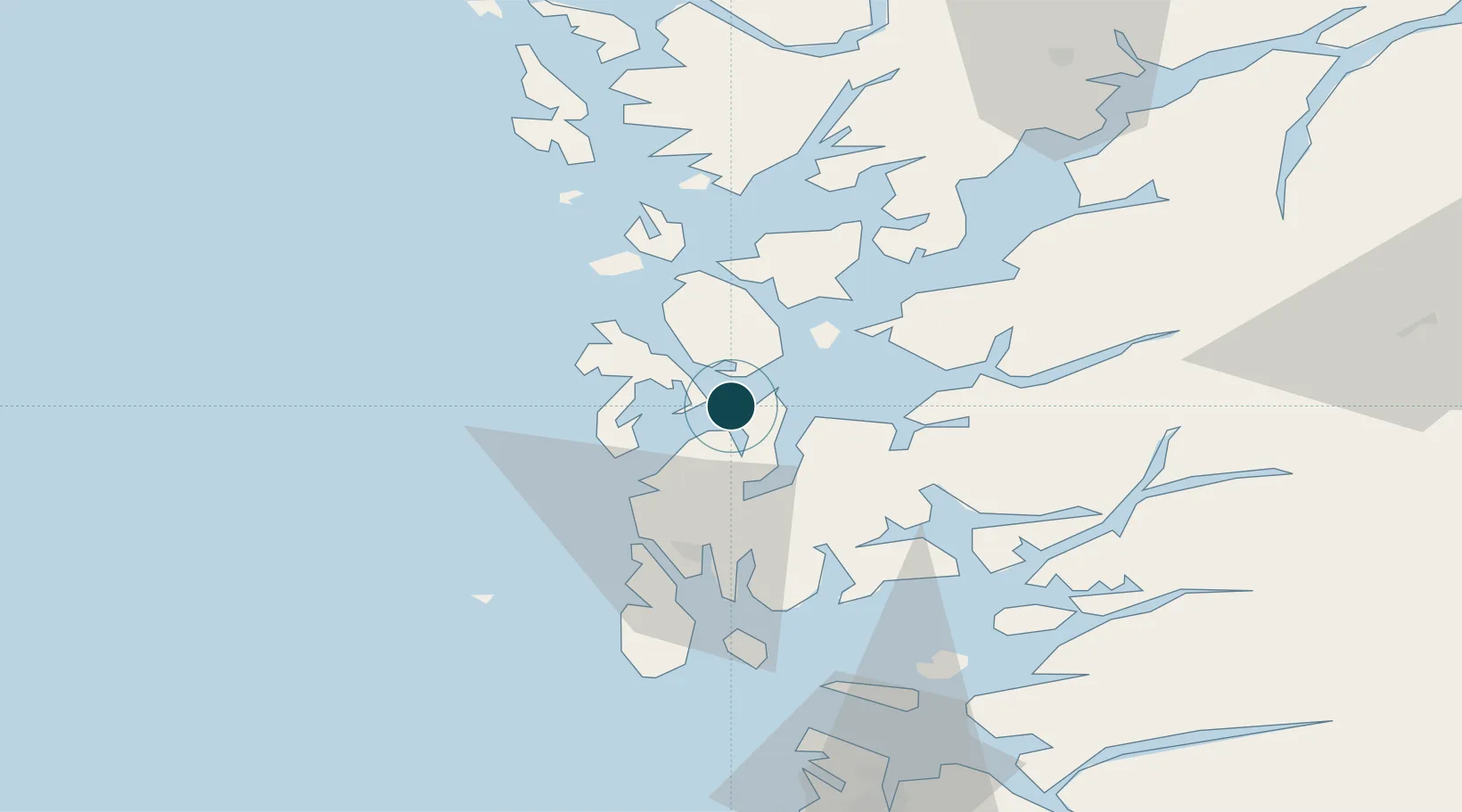
Location
Nearby Logistics Neighbours
Cities
- 1Valevåg4 km
- 2Stord base8 km
- 3Stord8 km
- 4Leirvik10 km
- 5Langevåg12 km
Airports
- 1Stord Airport, Sørstokken11 km
- 2Haugesund Airport, Karmøy41 km
- 3Bergen Airport, Flesland67 km
- 4Stavanger Airport, Sola93 km
- 5Sogndal Airport, Haukåsen188 km
Trade Zones
DatabookThe Record of Consolidated Knowledge
Norway beyond logistics?