UN/LOCODE hub · Norway
NOMJF

Mosjøen

65.8333°, 13.2000°
4
Transport functions

Transport Functions

Port
Rail
Road
Airport
Mosjøen is also a profiled seaport →
UN/LOCODE

Hub Profile

Region
18
GeoNames

Location

Location of NOMJF
Natural Earth 10m (public domain) · 18 · NOMJF · 65.83, 13.20GoogleOSMYandex

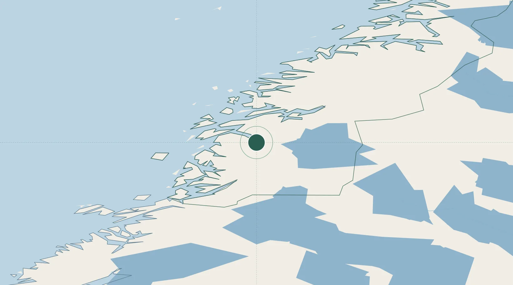
Nearby Logistics Neighbours

Cities
  1. 1Leirfjord27 km
  2. 2Botn - Sandnessjøen31 km
  3. 3Sandnessjøen33 km
  4. 4Tjøtta35 km
  5. 5Seljeli38 km
Nearest neighbours — logibook spatial index (haversine) over the source coordinates
Ports
  1. 1Sandnessjoen34 km
  2. 2Tjotta35 km
  3. 3Nesna42 km
  4. 4Hemnesberget48 km
  5. 5Bronnoysund61 km
Nearest neighbours — logibook spatial index (haversine) over the source coordinates
Airports
  1. 1Mosjøen Airport, Kjærstad6 km
  2. 2Sandnessjøen Airport, Stokka36 km
  3. 3Brønnøysund Airport, Brønnøy61 km
  4. 4Mo i Rana Airport, Røssvoll77 km
  5. 5Hemavan Airport86 km
Nearest neighbours — logibook spatial index (haversine) over the source coordinates
Trade Zones
  1. 1Turku Free Zone750 km
  2. 2Stockholm Free Zone763 km
  3. 3Freeport of Hanko827 km
  4. 4Jönköping Free Zone898 km
  5. 5Gothenburg Boundless Customs Warehouse907 km
Nearest neighbours — logibook spatial index (haversine) over the source coordinates
DatabookThe Record of Consolidated Knowledge
Norway beyond logistics?
Browse databook

All Sources

LocationsUN/LOCODE
UN/LOCODE — free
Portsthe NGA World Port Index
Public domain (US gov)
AirportsOurAirports
Public domain
Trade Zonesthe World Bank SEZ database
CC BY 4.0
Trade ZonesOpen Zone Map
CC BY
← Norway locations