Seaport · Norway

KirkenesNOKKN

69.7297°, 30.0689°
23.2 m
Channel depth
11.5
Port liner connectivity
Kirkenes is also a UN/LOCODE logistics hub →

Channel & Berth Profile

SEA LEVEL (CD)CHANNEL BEDCargo pier · 4.9 mOil terminal · 9.4 mChannel · 23.2 mAnchorage · 23.2 m
NGA World Port Index

Pilotage, Tugs & Services

Pilotage compulsoryYES
Pilotage availableYES
Pilotage advisableYES
Tug assistanceYES
Shore powerNO
Potable waterYES
Diesel bunkersNO
MedicalYES
Garbage disposalYES
NGA World Port Index

Facilities & Capabilities

ContainerYES
Ro-RoYES
Liquid bulkYES
Dry bulkYES
Oil terminal
Break bulkYES
Dry dock
Repairs
BunkeringYES
Rail link
Dangerous cargo
ISPS security
NGA World Port Index

Harbour Specifications

Harbour size
Small
NGA World Port Index
Harbour type
Coastal (Natural)
NGA World Port Index
Shelter
Good
NGA World Port Index
Water body
Barents Sea; Arctic Ocean
NGA World Port Index
Tidal range
3 m
NGA World Port Index
Overhead limit
Yes
NGA World Port Index
Pilotage
Yes
NGA World Port Index

Liner Connectivity

11.5
PLSCI

Port Liner Shipping Connectivity Index for Kirkenes, as published by UNCTAD for the latest available quarter. Higher values indicate stronger scheduled liner-shipping integration.

Shown relative to the highest per-port PLSCI in the dataset (1,657.9).
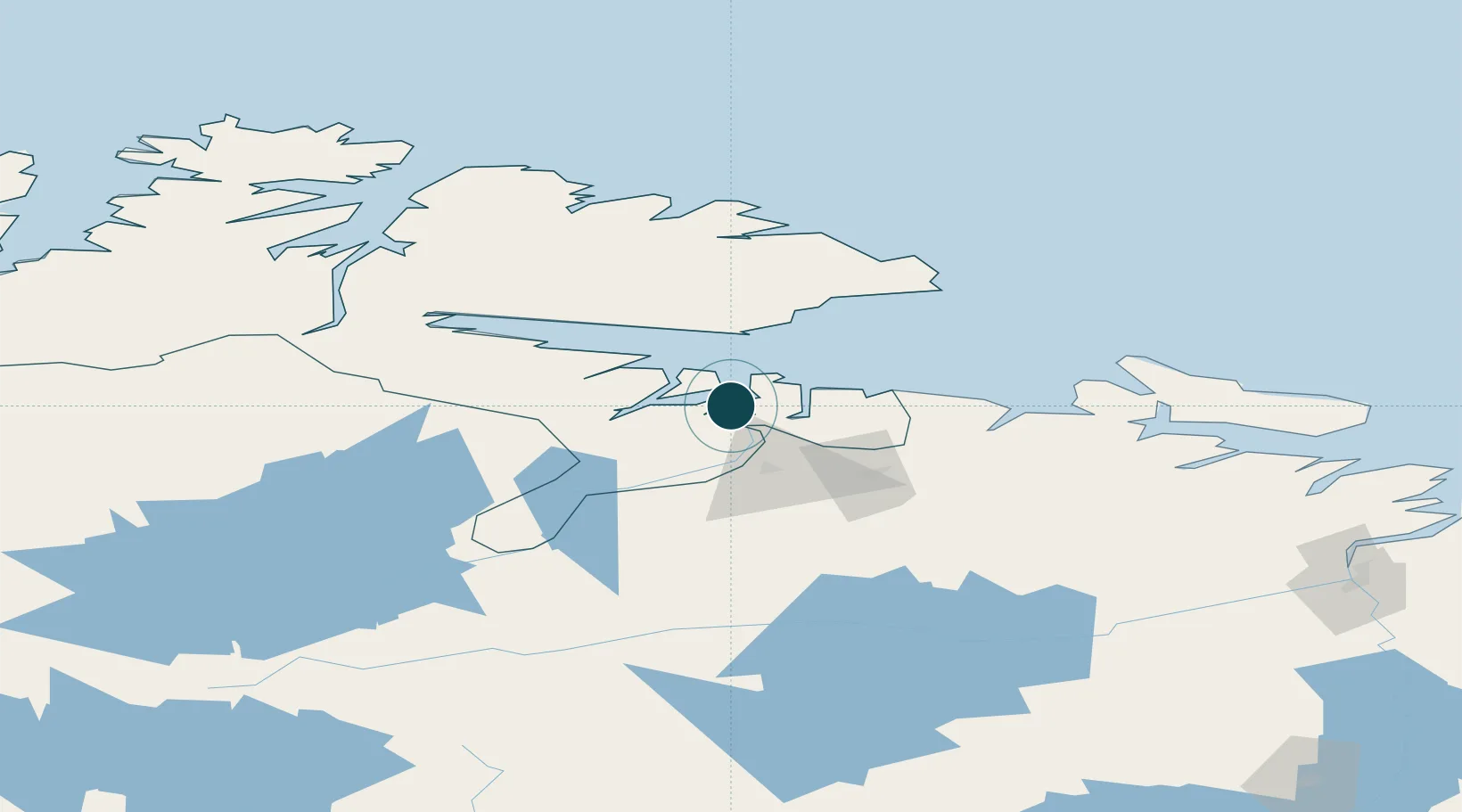
UNCTAD · Port Liner Shipping Connectivity Index

Location

Location of NOKKN
Natural Earth 10m (public domain) · Finnmark · NOKKN · 69.73, 30.07GoogleOSMYandex

Nearby Logistics Neighbours

Ports
  1. 1Vadso40 km
  2. 2Vardo82 km
  3. 3Batsfjord101 km
  4. 4Berlevag131 km
  5. 5Murmansk143 km
Nearest neighbours — logibook spatial index (haversine) over the source coordinates
Cities
  1. 1Jakobsnes1 km
  2. 2Bugøynes31 km
  3. 3Vadsø39 km
  4. 4Zapolyarnyy50 km
  5. 5Nyelv61 km
Nearest neighbours — logibook spatial index (haversine) over the source coordinates
Airports
  1. 1Kirkenes Airport, Høybuktmoen7 km
  2. 2Vadsø Airport38 km
  3. 3Vardø Airport, Svartnes79 km
  4. 4Båtsfjord Airport98 km
  5. 5Berlevåg Airport133 km
Nearest neighbours — logibook spatial index (haversine) over the source coordinates
Trade Zones
  1. 1Murmansk Special Economic Zone146 km
  2. 2Oulu Port Free Warehouse Area562 km
  3. 3Free Zone of Lappeenranta970 km
  4. 4Port of Hamina-Kotka1040 km
  5. 5Turku Free Zone1094 km
Nearest neighbours — logibook spatial index (haversine) over the source coordinates
DatabookThe Record of Consolidated Knowledge
Norway beyond logistics?
Browse databook

All Sources

Portsthe NGA World Port Index
Public domain (US gov)
Logistics performanceUNCTAD
CC BY 3.0 IGO
AirportsOurAirports
Public domain
LocationsUN/LOCODE
UN/LOCODE — free
Trade Zonesthe World Bank SEZ database
CC BY 4.0
Trade ZonesOpen Zone Map
CC BY
← Norway ports