UN/LOCODE hub · Norway
NOJAN

Jakobsnes

69.7333°, 30.1000°
1
Transport functions

Transport Functions

Port
UN/LOCODE

Hub Profile

Place type
Locality
GeoNames
Region
Finnmark
GeoNames
Time zone
Europe/Oslo
GeoNames
Elevation
30 m
GeoNames

Location

Location of NOJAN
Natural Earth 10m (public domain) · Finnmark · NOJAN · 69.73, 30.10GoogleOSMYandex

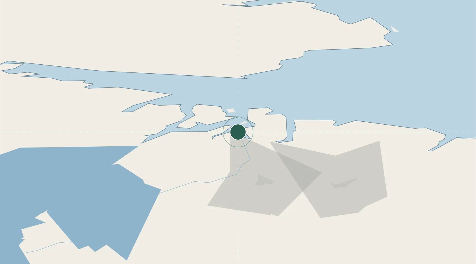
Nearby Logistics Neighbours

Cities
  1. 1Kirkenes3 km
  2. 2Bugøynes32 km
  3. 3Vadsø39 km
  4. 4Zapolyarnyy50 km
  5. 5Nyelv61 km
Nearest neighbours — logibook spatial index (haversine) over the source coordinates
Ports
  1. 1Kirkenes1 km
  2. 2Vadso40 km
  3. 3Vardo81 km
  4. 4Batsfjord101 km
  5. 5Berlevag131 km
Nearest neighbours — logibook spatial index (haversine) over the source coordinates
Airports
  1. 1Kirkenes Airport, Høybuktmoen8 km
  2. 2Vadsø Airport38 km
  3. 3Vardø Airport, Svartnes78 km
  4. 4Båtsfjord Airport98 km
  5. 5Berlevåg Airport133 km
Nearest neighbours — logibook spatial index (haversine) over the source coordinates
Trade Zones
  1. 1Murmansk Special Economic Zone145 km
  2. 2Oulu Port Free Warehouse Area563 km
  3. 3Free Zone of Lappeenranta971 km
  4. 4Port of Hamina-Kotka1040 km
  5. 5Turku Free Zone1095 km
Nearest neighbours — logibook spatial index (haversine) over the source coordinates
DatabookThe Record of Consolidated Knowledge
Norway beyond logistics?
Browse databook

All Sources

LocationsUN/LOCODE
UN/LOCODE — free
Portsthe NGA World Port Index
Public domain (US gov)
AirportsOurAirports
Public domain
Trade Zonesthe World Bank SEZ database
CC BY 4.0
Trade ZonesOpen Zone Map
CC BY
← Norway locations