Seaport · Russia

MurmanskRUMMK

68.9833°, 33.0500°
7.9 m
Channel depth
10.0
Port liner connectivity

Channel & Berth Profile

SEA LEVEL (CD)CHANNEL BEDCargo pier · 6.4 mChannel · 7.9 mAnchorage · 14.0 mOil terminal · 23.2 m
NGA World Port Index

Pilotage, Tugs & Services

Pilotage compulsoryYES
Pilotage availableYES
Pilotage advisableYES
Tug assistanceYES
Shore powerYES
Potable waterYES
Diesel bunkersYES
MedicalYES
Garbage disposalYES
NGA World Port Index

Facilities & Capabilities

Container
Ro-Ro
Liquid bulk
Dry bulk
Oil terminal
Break bulk
Dry dockNO
RepairsNO
BunkeringYES
Rail linkYES
Dangerous cargo
ISPS security
NGA World Port Index

Harbour Specifications

Harbour size
Large
NGA World Port Index
Harbour type
River (Natural)
NGA World Port Index
Shelter
Good
NGA World Port Index
Water body
Barents Sea; Arctic Ocean
NGA World Port Index
Tidal range
3 m
NGA World Port Index
Overhead limit
Yes
NGA World Port Index
Pilotage
Yes
NGA World Port Index

Liner Connectivity

10
PLSCI

Port Liner Shipping Connectivity Index for Murmansk, as published by UNCTAD for the latest available quarter. Higher values indicate stronger scheduled liner-shipping integration.

Shown relative to the highest per-port PLSCI in the dataset (1,657.9).
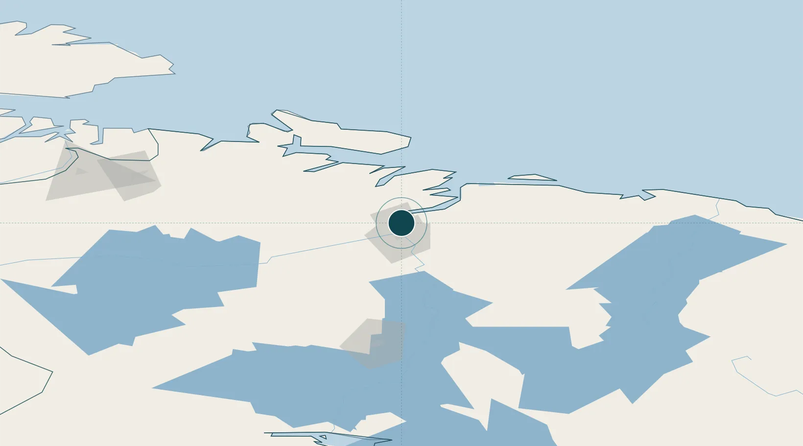
UNCTAD · Port Liner Shipping Connectivity Index

Location

Location of RUMMK
Natural Earth 10m (public domain) · Murmansk · RUMMK · 68.98, 33.05GoogleOSMYandex

Nearby Logistics Neighbours

Ports
  1. 1Kirkenes143 km
  2. 2Vardo172 km
  3. 3Vadso177 km
  4. 4Kandalaksha207 km
  5. 5Vitino214 km
Nearest neighbours — logibook spatial index (haversine) over the source coordinates
Cities
  1. 1Ura-Guba35 km
  2. 2Ozerko89 km
  3. 3Zapolyarnyy94 km
  4. 4Jakobsnes143 km
  5. 5Kirkenes144 km
Nearest neighbours — logibook spatial index (haversine) over the source coordinates
Airports
  1. 1Severomorsk-1 Naval Air Base16 km
  2. 2Emperor Nicholas II Murmansk Airport25 km
  3. 3Severomorsk-3 Naval Air Base30 km
  4. 4Olenya Air Base94 km
  5. 5Kirkenes Airport, Høybuktmoen149 km
Nearest neighbours — logibook spatial index (haversine) over the source coordinates
Trade Zones
  1. 1Murmansk Special Economic Zone3 km
  2. 2Oulu Port Free Warehouse Area553 km
  3. 3Free Zone of Lappeenranta912 km
  4. 4Port of Hamina-Kotka989 km
  5. 5St Petersburg Technology Innovative Special Economic Zone1026 km
Nearest neighbours — logibook spatial index (haversine) over the source coordinates
DatabookThe Record of Consolidated Knowledge
Russia beyond logistics?
Browse databook

All Sources

Portsthe NGA World Port Index
Public domain (US gov)
Logistics performanceUNCTAD
CC BY 3.0 IGO
AirportsOurAirports
Public domain
LocationsUN/LOCODE
UN/LOCODE — free
Trade Zonesthe World Bank SEZ database
CC BY 4.0
Trade ZonesOpen Zone Map
CC BY
← Russia ports