UN/LOCODE hub · Norway
NOVDS

Vadsø

70.0667°, 29.7667°
3
Transport functions

Transport Functions

Port
Road
Airport
Vadsø is also a profiled seaport →
UN/LOCODE

Hub Profile

Region
20
GeoNames

Location

Location of NOVDS
Natural Earth 10m (public domain) · 20 · NOVDS · 70.07, 29.77GoogleOSMYandex

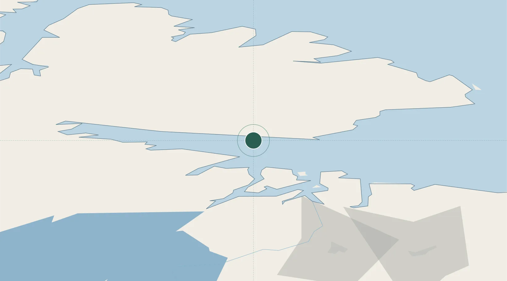
Nearby Logistics Neighbours

Cities
  1. 1Bugøynes12 km
  2. 2Nyelv34 km
  3. 3Jakobsnes39 km
  4. 4Kirkenes40 km
  5. 5Vardø60 km
Nearest neighbours — logibook spatial index (haversine) over the source coordinates
Ports
  1. 1Kirkenes39 km
  2. 2Vardo61 km
  3. 3Batsfjord63 km
  4. 4Berlevag92 km
  5. 5Mehamnfjorden130 km
Nearest neighbours — logibook spatial index (haversine) over the source coordinates
Airports
  1. 1Vadsø Airport3 km
  2. 2Kirkenes Airport, Høybuktmoen38 km
  3. 3Vardø Airport, Svartnes58 km
  4. 4Båtsfjord Airport59 km
  5. 5Berlevåg Airport94 km
Nearest neighbours — logibook spatial index (haversine) over the source coordinates
Trade Zones
  1. 1Murmansk Special Economic Zone178 km
  2. 2Oulu Port Free Warehouse Area593 km
  3. 3Free Zone of Lappeenranta1007 km
  4. 4Port of Hamina-Kotka1075 km
  5. 5Turku Free Zone1124 km
Nearest neighbours — logibook spatial index (haversine) over the source coordinates
DatabookThe Record of Consolidated Knowledge
Norway beyond logistics?
Browse databook

All Sources

LocationsUN/LOCODE
UN/LOCODE — free
Portsthe NGA World Port Index
Public domain (US gov)
AirportsOurAirports
Public domain
Trade Zonesthe World Bank SEZ database
CC BY 4.0
Trade ZonesOpen Zone Map
CC BY
← Norway locations