Channel & Berth Profile
Pilotage, Tugs & Services
Pilotage compulsoryNO
Pilotage availableYES
Local assistanceYES
Tug assistanceYES
Potable waterYES
Diesel bunkersYES
MedicalYES
Garbage disposalYES
Facilities & Capabilities
ContainerNO
Ro-RoYES
Liquid bulkYES
Dry bulkNO
Oil terminal—
Break bulkYES
Dry dockNO
RepairsNO
BunkeringYES
Rail link—
Dangerous cargo—
ISPS security—
Harbour Specifications
Harbour size
Small
Harbour type
Coastal (Natural)
Shelter
Good
Water body
Barents Sea; Arctic Ocean
Pilotage
No
Liner Connectivity
11.5
PLSCI
Port Liner Shipping Connectivity Index for Batsfjord, as published by UNCTAD for the latest available quarter. Higher values indicate stronger scheduled liner-shipping integration.
Shown relative to the highest per-port PLSCI in the dataset (1,657.9).
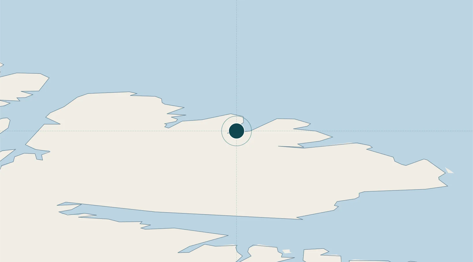
Location
Nearby Logistics Neighbours
Ports
- 1Berlevag34 km
- 2Vardo58 km
- 3Vadso63 km
- 4Mehamnfjorden83 km
- 5Kjollefjorden95 km
Cities
- 1Kongsfjord18 km
- 2Berlevåg34 km
- 3Leirpollen51 km
- 4Vardø59 km
- 5Vadsø63 km
Airports
- 1Båtsfjord Airport4 km
- 2Berlevåg Airport37 km
- 3Vardø Airport, Svartnes58 km
- 4Vadsø Airport63 km
- 5Mehamn Airport82 km
Trade Zones
- 1Murmansk Special Economic Zone226 km
- 2Oulu Port Free Warehouse Area652 km
- 3Free Zone of Lappeenranta1069 km
- 4Port of Hamina-Kotka1137 km
- 5Turku Free Zone1183 km
DatabookThe Record of Consolidated Knowledge
Norway beyond logistics?