Medium airport · Norway
Vadsø AirportENVD
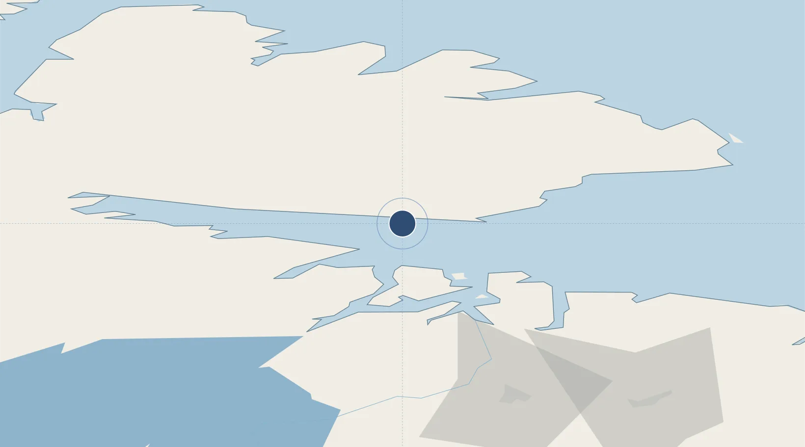
70.0653°, 29.8447°
3,278 ft
Longest runway
1
Runways
127 ft
Elevation
Runway & Layout

Radio Frequencies
INFO
120.2 MHz
Vadsø
Navaids
VD NDB Vadso 342 kHz
Runways · 1
| Runway | Dimensions | Surface | True heading | Lit |
|---|---|---|---|---|
| 07/25 | 3,278 × 98ft | Asphalt | 087° | ✓ |
Airport Specifications
IATA code
VDS
ICAO code
ENVD
Airport class
Medium airport
Scheduled service
Yes
Runway surface
Asphalt
Served city
Vadsø
Location
Nearby Logistics Neighbours
Airports
- 1Kirkenes Airport, Høybuktmoen38 km
- 2Vardø Airport, Svartnes56 km
- 3Båtsfjord Airport60 km
- 4Berlevåg Airport95 km
- 5Mehamn Airport131 km
Trade Zones
- 1Murmansk Special Economic Zone176 km
- 2Oulu Port Free Warehouse Area594 km
- 3Free Zone of Lappeenranta1007 km
- 4Port of Hamina-Kotka1075 km
- 5Turku Free Zone1125 km
DatabookThe Record of Consolidated Knowledge
Norway beyond logistics?