Transport Functions
Port
Road
Hub Profile
Region
20
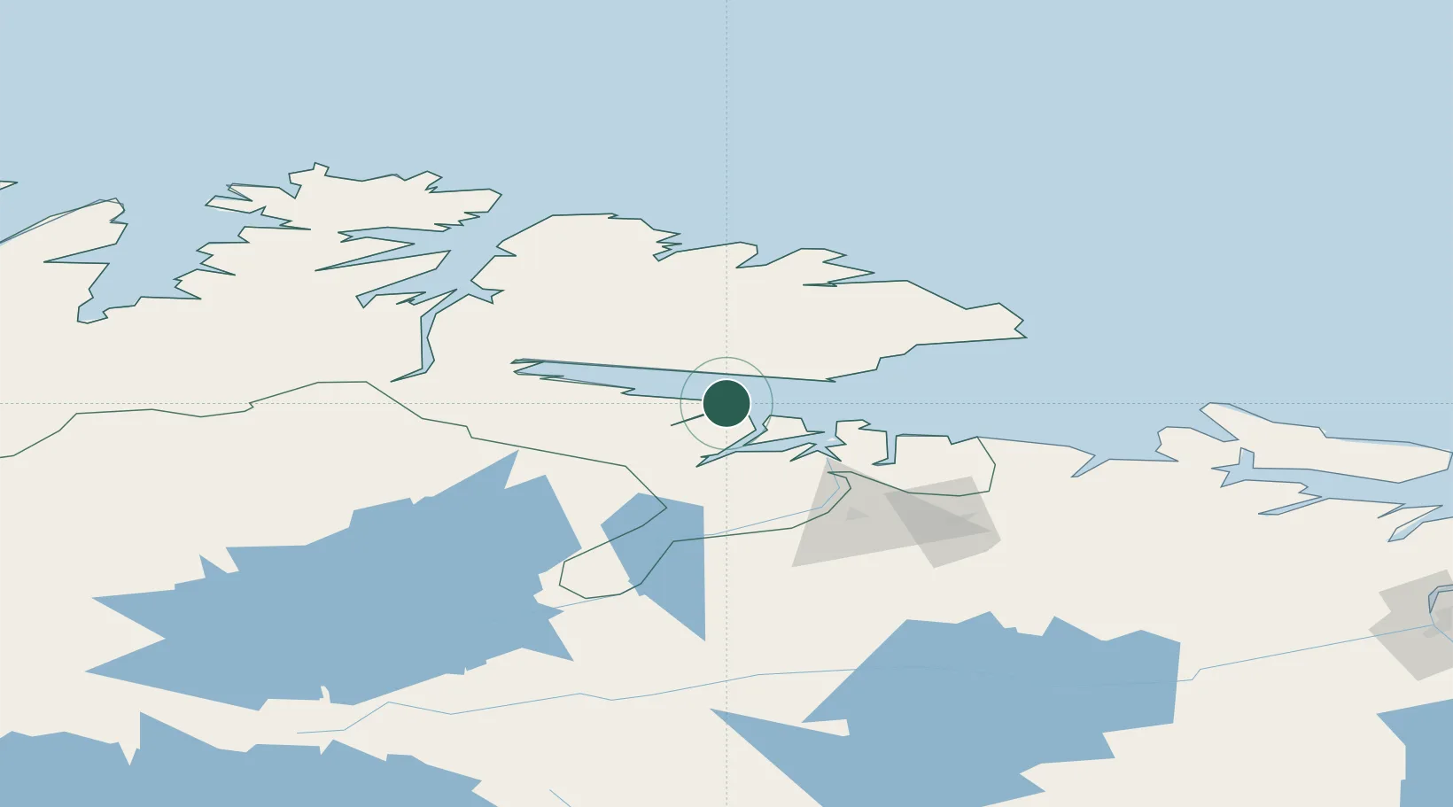
Location
Nearby Logistics Neighbours
Cities
- 1Vadsø12 km
- 2Jakobsnes32 km
- 3Kirkenes32 km
- 4Nyelv32 km
- 5Leirpollen69 km
Airports
- 1Vadsø Airport14 km
- 2Kirkenes Airport, Høybuktmoen29 km
- 3Vardø Airport, Svartnes69 km
- 4Båtsfjord Airport71 km
- 5Berlevåg Airport103 km
Trade Zones
- 1Murmansk Special Economic Zone175 km
- 2Oulu Port Free Warehouse Area581 km
- 3Free Zone of Lappeenranta995 km
- 4Port of Hamina-Kotka1063 km
- 5Turku Free Zone1112 km
DatabookThe Record of Consolidated Knowledge
Norway beyond logistics?