Transport Functions
Port
Road
Airport
Hub Profile
Place type
Provincial seat
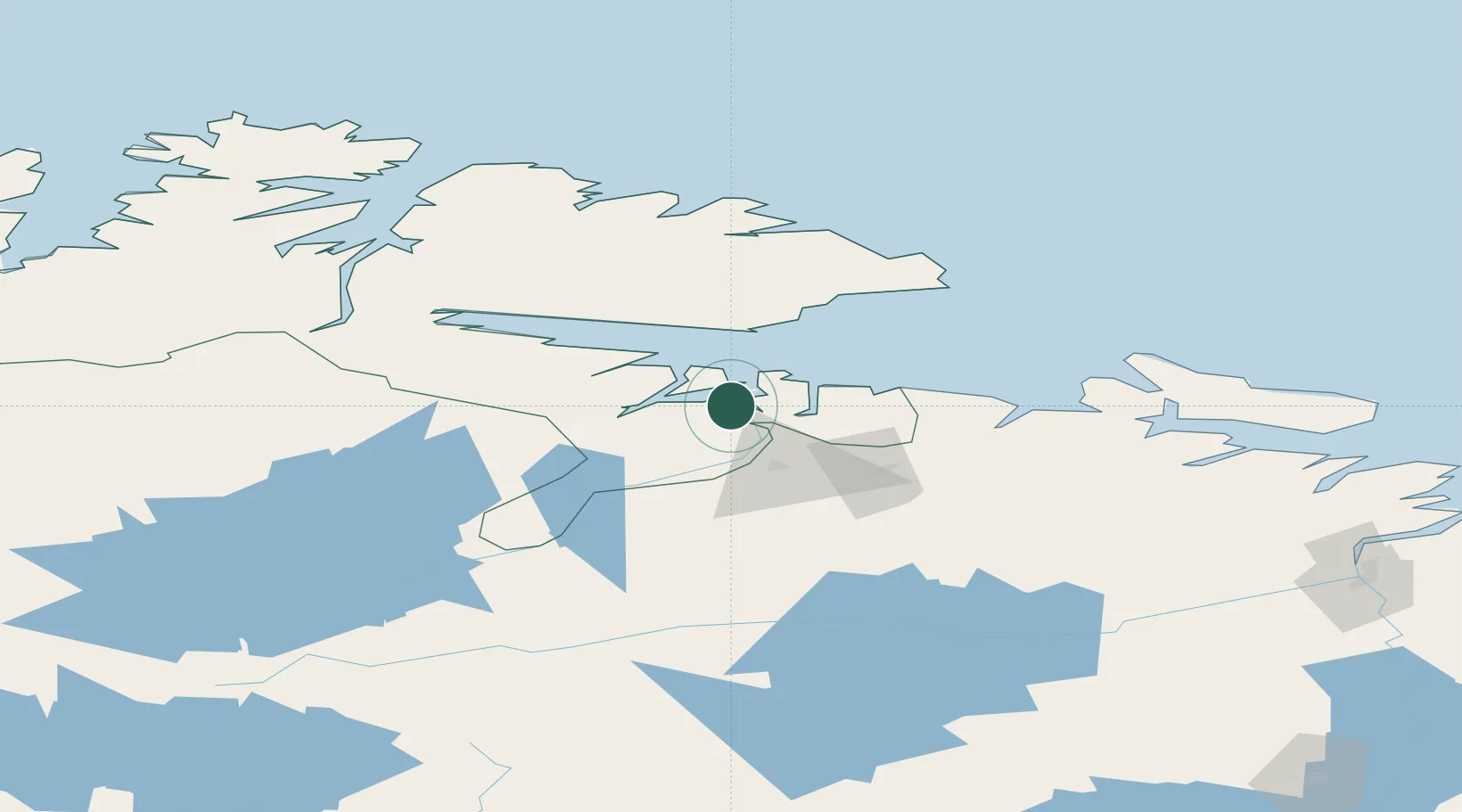
Region
Finnmark
Population
3,529
Time zone
Europe/Oslo
Elevation
10 m
Location
Nearby Logistics Neighbours
Cities
- 1Jakobsnes3 km
- 2Bugøynes32 km
- 3Vadsø40 km
- 4Zapolyarnyy51 km
- 5Nyelv60 km
Airports
- 1Kirkenes Airport, Høybuktmoen6 km
- 2Vadsø Airport39 km
- 3Vardø Airport, Svartnes81 km
- 4Båtsfjord Airport99 km
- 5Berlevåg Airport134 km
Trade Zones
- 1Murmansk Special Economic Zone146 km
- 2Oulu Port Free Warehouse Area561 km
- 3Free Zone of Lappeenranta969 km
- 4Port of Hamina-Kotka1038 km
- 5Turku Free Zone1092 km
DatabookThe Record of Consolidated Knowledge
Norway beyond logistics?