Medium airport · Norway
Kirkenes Airport, HøybuktmoenENKR
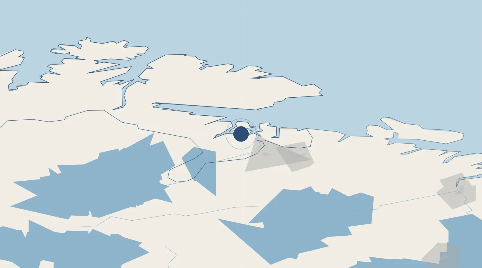
69.7258°, 29.8913°
6,939 ft
Longest runway
1
Runways
283 ft
Elevation
Runway & Layout

Radio Frequencies
ATIS
118.025 MHz
TWR
118.1 MHz
KIRKENES TWR
Navaids
KIK VOR-DME Kirkenes 112.00 MHz
KKS NDB Kirkenes 326 kHz
Runways · 1
| Runway | Dimensions | Surface | True heading | Lit |
|---|---|---|---|---|
| 05/23 | 6,939 × 148ft | Asphalt | 069° | ✓ |
Airport Specifications
IATA code
KKN
ICAO code
ENKR
Airport class
Medium airport
Scheduled service
Yes
Runway surface
Asphalt
Served city
Kirkenes
Location
Nearby Logistics Neighbours
Airports
- 1Vadsø Airport38 km
- 2Vardø Airport, Svartnes83 km
- 3Båtsfjord Airport98 km
- 4Berlevåg Airport131 km
- 5Emperor Nicholas II Murmansk Airport154 km
Cities
- 1Kirkenes6 km
- 2Jakobsnes8 km
- 3Bugøynes29 km
- 4Vadsø38 km
- 5Zapolyarnyy56 km
Trade Zones
- 1Murmansk Special Economic Zone152 km
- 2Oulu Port Free Warehouse Area559 km
- 3Free Zone of Lappeenranta969 km
- 4Port of Hamina-Kotka1038 km
- 5Turku Free Zone1091 km
DatabookThe Record of Consolidated Knowledge
Norway beyond logistics?