Transport Functions
Rail
Road
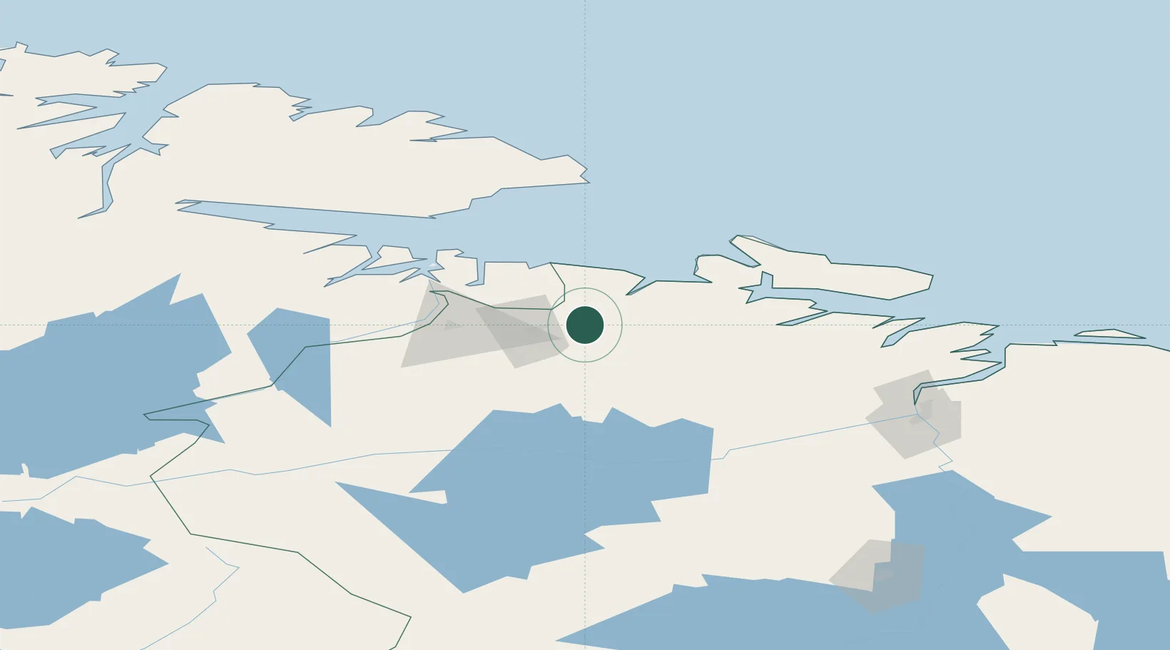
Hub Profile
Place type
Populated place
Region
Murmansk
Population
17,789
Time zone
Europe/Moscow
Elevation
172 m
Location
Nearby Logistics Neighbours
Airports
Trade Zones
DatabookThe Record of Consolidated Knowledge
Russia beyond logistics?