UN/LOCODE hub · Norway
NONYE

Nyelv

70.0833°, 28.8667°
1
Transport functions

Transport Functions

Port
UN/LOCODE

Hub Profile

Region
20
GeoNames

Location

Location of NONYE
Natural Earth 10m (public domain) · 20 · NONYE · 70.08, 28.87GoogleOSMYandex

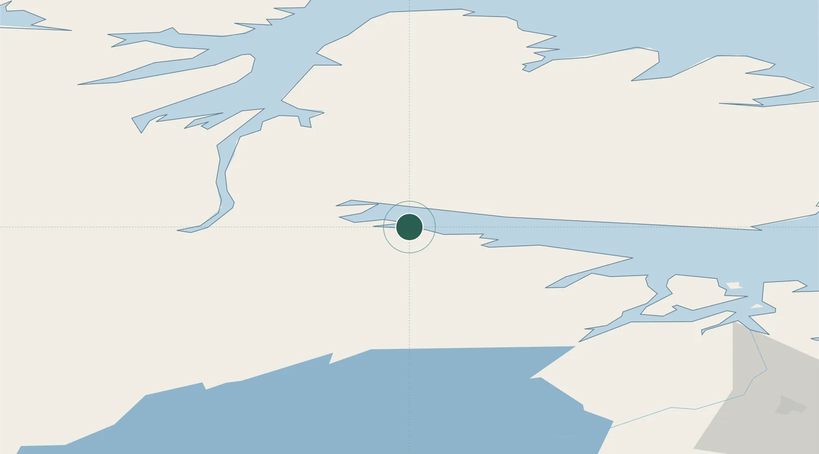
Nearby Logistics Neighbours

Cities
  1. 1Bugøynes32 km
  2. 2Vadsø34 km
  3. 3Leirpollen43 km
  4. 4Kirkenes60 km
  5. 5Jakobsnes61 km
Nearest neighbours — logibook spatial index (haversine) over the source coordinates
Ports
  1. 1Vadso33 km
  2. 2Kirkenes61 km
  3. 3Batsfjord69 km
  4. 4Berlevag87 km
  5. 5Vardo90 km
Nearest neighbours — logibook spatial index (haversine) over the source coordinates
Airports
  1. 1Vadsø Airport37 km
  2. 2Kirkenes Airport, Høybuktmoen56 km
  3. 3Båtsfjord Airport65 km
  4. 4Vardø Airport, Svartnes87 km
  5. 5Berlevåg Airport88 km
Nearest neighbours — logibook spatial index (haversine) over the source coordinates
Trade Zones
  1. 1Murmansk Special Economic Zone206 km
  2. 2Oulu Port Free Warehouse Area584 km
  3. 3Free Zone of Lappeenranta1006 km
  4. 4Port of Hamina-Kotka1073 km
  5. 5Turku Free Zone1114 km
Nearest neighbours — logibook spatial index (haversine) over the source coordinates
DatabookThe Record of Consolidated Knowledge
Norway beyond logistics?
Browse databook

All Sources

LocationsUN/LOCODE
UN/LOCODE — free
Portsthe NGA World Port Index
Public domain (US gov)
AirportsOurAirports
Public domain
Trade Zonesthe World Bank SEZ database
CC BY 4.0
Trade ZonesOpen Zone Map
CC BY
← Norway locations