Medium airport · Norway

Vardø Airport, SvartnesENSS
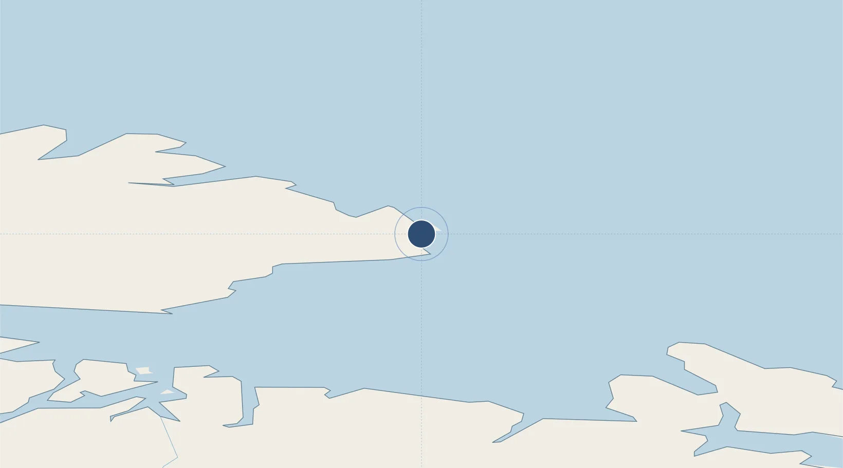
70.3554°, 31.0449°
3,707 ft
Longest runway
1
Runways
42 ft
Elevation

Runway & Layout

Vardø Airport, Svartnes runway & taxiway layout
Runway & taxiway layout — OpenStreetMap (ODbL) / OurAirports

Radio Frequencies

AFIS
122.15 MHz
VARDO INFO
OurAirports

Navaids

VRD VOR-DME Vardo 114.10 MHz
OurAirports

Runways · 1

RunwayDimensions SurfaceTrue headingLit
15/33 3,707 × 98ft Asphalt 163°
OurAirports

Airport Specifications

IATA code
VAW
OurAirports
ICAO code
ENSS
OurAirports
Airport class
Medium airport
OurAirports
Scheduled service
Yes
OurAirports
Runway surface
Asphalt
OurAirports
Served city
Vardø
OurAirports

Location

Location of ENSS
Natural Earth 10m (public domain) · Murmansk · ENSS · 70.36, 31.04GoogleOSMYandex

Nearby Logistics Neighbours

Airports
  1. 1Vadsø Airport56 km
  2. 2Båtsfjord Airport57 km
  3. 3Kirkenes Airport, Høybuktmoen83 km
  4. 4Berlevåg Airport94 km
  5. 5Mehamn Airport140 km
Nearest neighbours — logibook spatial index (haversine) over the source coordinates
Cities
  1. 1Vardø2 km
  2. 2Vadsø58 km
  3. 3Båtsfjord58 km
  4. 4Bugøynes69 km
  5. 5Kongsfjord76 km
Nearest neighbours — logibook spatial index (haversine) over the source coordinates
Ports
  1. 1Vardo3 km
  2. 2Batsfjord58 km
  3. 3Vadso58 km
  4. 4Kirkenes79 km
  5. 5Berlevag91 km
Nearest neighbours — logibook spatial index (haversine) over the source coordinates
Trade Zones
  1. 1Murmansk Special Economic Zone174 km
  2. 2Oulu Port Free Warehouse Area641 km
  3. 3Free Zone of Lappeenranta1044 km
  4. 4Port of Hamina-Kotka1115 km
  5. 5St Petersburg Technology Innovative Special Economic Zone1170 km
Nearest neighbours — logibook spatial index (haversine) over the source coordinates
DatabookThe Record of Consolidated Knowledge
Norway beyond logistics?
Browse databook

All Sources

AirportsOurAirports
Public domain
Portsthe NGA World Port Index
Public domain (US gov)
LocationsUN/LOCODE
UN/LOCODE — free
Trade Zonesthe World Bank SEZ database
CC BY 4.0
Trade ZonesOpen Zone Map
CC BY
InfrastructureOpenStreetMap
ODbL 1.0
← Norway airports