Transport Functions
Port
Road
Hub Profile
Place type
Populated place
Region
Vestland
Time zone
Europe/Oslo
Elevation
29 m
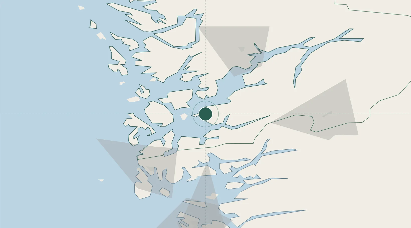
Location
Nearby Logistics Neighbours
Cities
- 1Sunde5 km
- 2Herøysundet6 km
- 3Halsnøy8 km
- 4Uskedalen9 km
- 5Høylandsbygda10 km
Ports
- 1Leirvik19 km
- 2Mosterhamn28 km
- 3Sauda41 km
- 4Odda50 km
- 5Haugesund58 km
Airports
- 1Stord Airport, Sørstokken25 km
- 2Bergen Airport, Flesland56 km
- 3Haugesund Airport, Karmøy66 km
- 4Stavanger Airport, Sola110 km
- 5Sogndal Airport, Haukåsen162 km
Trade Zones
DatabookThe Record of Consolidated Knowledge
Norway beyond logistics?