UN/LOCODE hub · Norway
NOHLB

Høylandsbygda

59.7833°, 5.8000°
2
Transport functions

Transport Functions

Port
Road
UN/LOCODE

Hub Profile

Region
12
GeoNames

Location

Location of NOHLB
Natural Earth 10m (public domain) · 12 · NOHLB · 59.78, 5.80GoogleOSMYandex

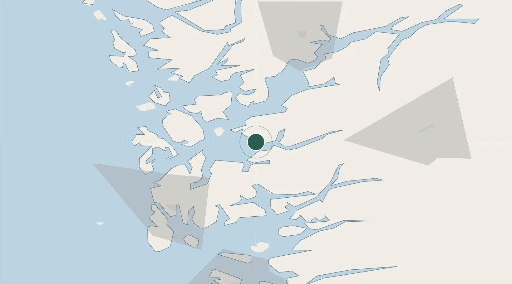
Nearby Logistics Neighbours

Cities
  1. 1Halsnøy5 km
  2. 2Sunde7 km
  3. 3Husnes10 km
  4. 4Herøysundet15 km
  5. 5Etne16 km
Nearest neighbours — logibook spatial index (haversine) over the source coordinates
Ports
  1. 1Husnes11 km
  2. 2Leirvik17 km
  3. 3Mosterhamn25 km
  4. 4Sauda34 km
  5. 5Haugesund52 km
Nearest neighbours — logibook spatial index (haversine) over the source coordinates
Airports
  1. 1Stord Airport, Sørstokken26 km
  2. 2Haugesund Airport, Karmøy59 km
  3. 3Bergen Airport, Flesland65 km
  4. 4Stavanger Airport, Sola101 km
  5. 5Sogndal Airport, Haukåsen169 km
Nearest neighbours — logibook spatial index (haversine) over the source coordinates
Trade Zones
  1. 1Gothenburg Boundless Customs Warehouse417 km
  2. 2Freeport of Kiel661 km
  3. 3Freeport of Cuxhaven (Freihafen Cuxhaven)683 km
  4. 4North Eastern Enterprise Zone696 km
  5. 5Tees Valley Enterprise Zone713 km
Nearest neighbours — logibook spatial index (haversine) over the source coordinates
DatabookThe Record of Consolidated Knowledge
Norway beyond logistics?
Browse databook

All Sources

LocationsUN/LOCODE
UN/LOCODE — free
Portsthe NGA World Port Index
Public domain (US gov)
AirportsOurAirports
Public domain
Trade Zonesthe World Bank SEZ database
CC BY 4.0
Trade ZonesOpen Zone Map
CC BY
← Norway locations