UN/LOCODE hub · Norway
NOHET

Herøysundet

59.9167°, 5.7833°
1
Transport functions

Transport Functions

Port
UN/LOCODE

Hub Profile

Region
12
GeoNames

Location

Location of NOHET
Natural Earth 10m (public domain) · 12 · NOHET · 59.92, 5.78GoogleOSMYandex

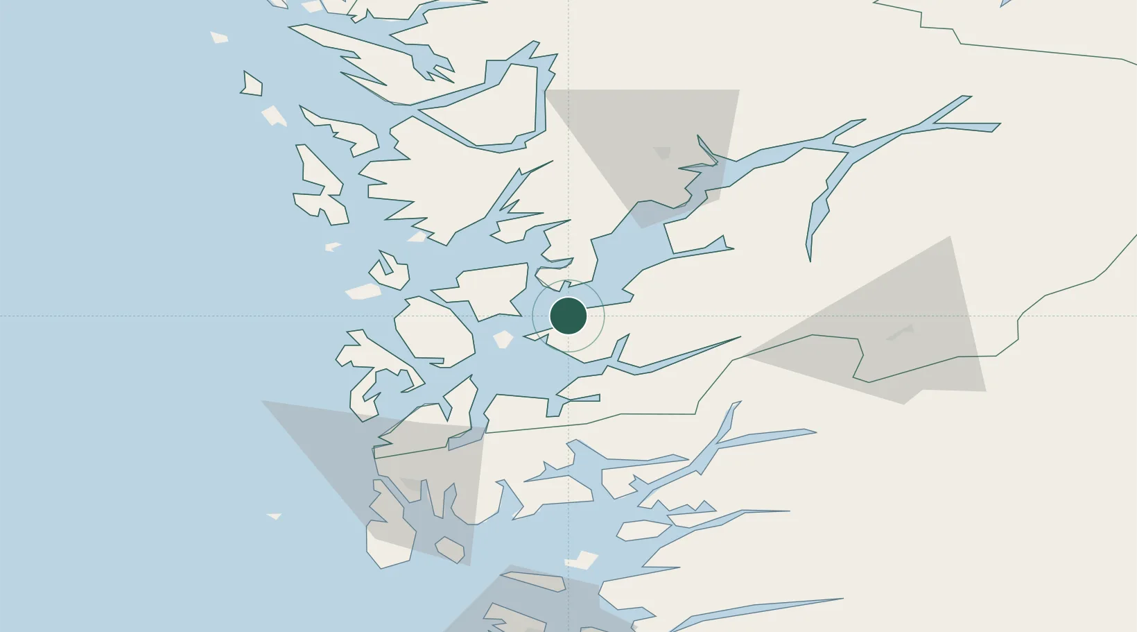
Nearby Logistics Neighbours

Cities
  1. 1Uskedalen4 km
  2. 2Husnes6 km
  3. 3Sunde10 km
  4. 4Ølve11 km
  5. 5Dimmelsvik12 km
Nearest neighbours — logibook spatial index (haversine) over the source coordinates
Ports
  1. 1Husnes5 km
  2. 2Leirvik24 km
  3. 3Mosterhamn33 km
  4. 4Sauda44 km
  5. 5Odda47 km
Nearest neighbours — logibook spatial index (haversine) over the source coordinates
Airports
  1. 1Stord Airport, Sørstokken28 km
  2. 2Bergen Airport, Flesland52 km
  3. 3Haugesund Airport, Karmøy71 km
  4. 4Stavanger Airport, Sola116 km
  5. 5Sogndal Airport, Haukåsen157 km
Nearest neighbours — logibook spatial index (haversine) over the source coordinates
Trade Zones
  1. 1Gothenburg Boundless Customs Warehouse425 km
  2. 2Freeport of Kiel675 km
  3. 3Freeport of Cuxhaven (Freihafen Cuxhaven)698 km
  4. 4North Eastern Enterprise Zone706 km
  5. 5Tees Valley Enterprise Zone724 km
Nearest neighbours — logibook spatial index (haversine) over the source coordinates
DatabookThe Record of Consolidated Knowledge
Norway beyond logistics?
Browse databook

All Sources

LocationsUN/LOCODE
UN/LOCODE — free
Portsthe NGA World Port Index
Public domain (US gov)
AirportsOurAirports
Public domain
Trade Zonesthe World Bank SEZ database
CC BY 4.0
Trade ZonesOpen Zone Map
CC BY
← Norway locations