Transport Functions
Port
Road
Hub Profile
Place type
Populated place
Region
Vestland
Time zone
Europe/Oslo
Elevation
46 m
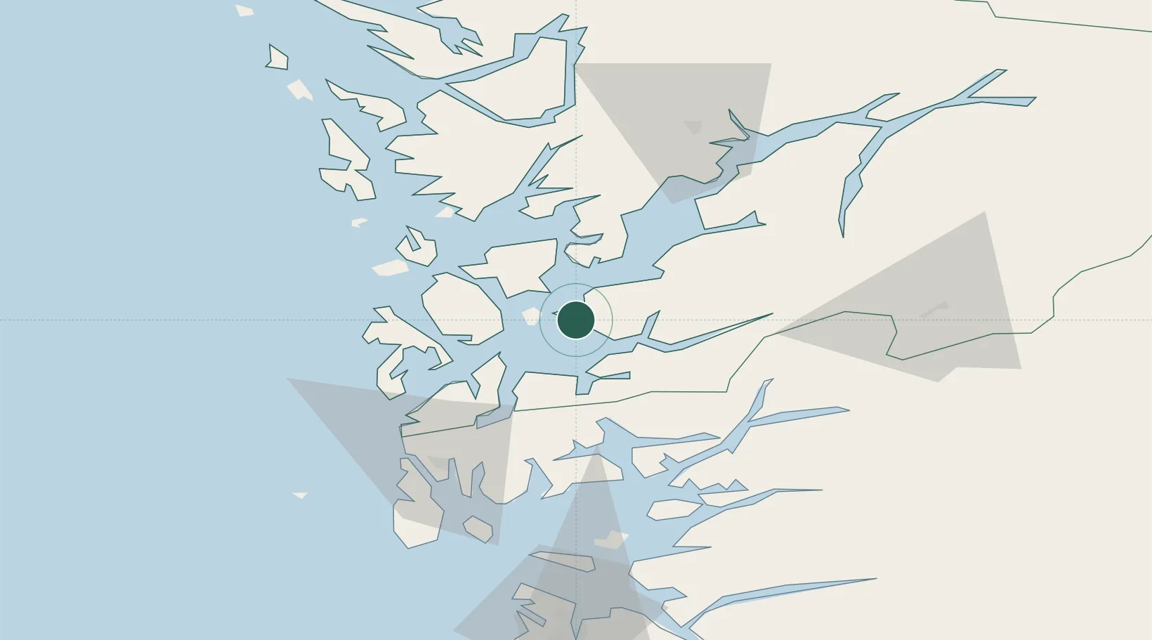
Location
Nearby Logistics Neighbours
Cities
- 1Halsnøy4 km
- 2Husnes5 km
- 3Høylandsbygda7 km
- 4Herøysundet10 km
- 5Uskedalen13 km
Ports
- 1Husnes6 km
- 2Leirvik15 km
- 3Mosterhamn24 km
- 4Sauda41 km
- 5Haugesund54 km
Airports
- 1Stord Airport, Sørstokken22 km
- 2Bergen Airport, Flesland58 km
- 3Haugesund Airport, Karmøy61 km
- 4Stavanger Airport, Sola107 km
- 5Sogndal Airport, Haukåsen166 km
Trade Zones
DatabookThe Record of Consolidated Knowledge
Norway beyond logistics?