Small airport · Norway
Sogndal Airport, HaukåsenENSG
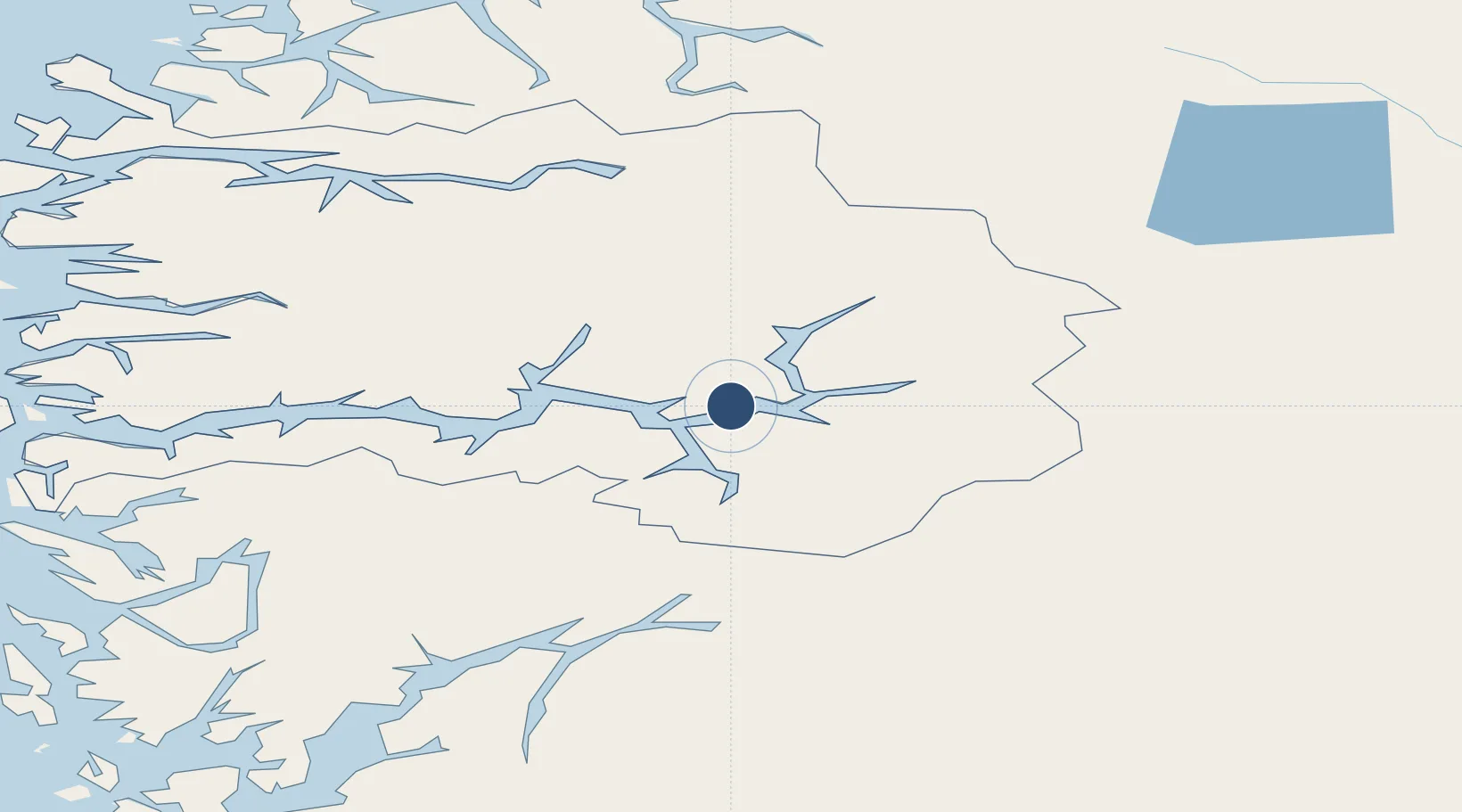
61.1561°, 7.1378°
3,150 ft
Longest runway
1
Runways
1,633 ft
Elevation
Runway & Layout

Radio Frequencies
AFIS
119.3 MHz
Sogndal
INFO
121.5 MHz
Sogndal Information
Navaids
SOG VOR-DME Sogndal 114.20 MHz
Runways · 1
| Runway | Dimensions | Surface | True heading | Lit |
|---|---|---|---|---|
| 06/24 | 3,150 × 98ft | Asphalt | 059° | ✓ |
Airport Specifications
IATA code
SOG
ICAO code
ENSG
Airport class
Small airport
Scheduled service
Yes
Runway surface
Asphalt
Served city
Sogndal
Location
Nearby Logistics Neighbours
Airports
- 1Førde Airport, Bringeland78 km
- 2Sandane Airport, Anda93 km
- 3Florø Airport122 km
- 4Ørsta-Volda Airport, Hovden127 km
- 5Bergen Airport, Flesland142 km
Cities
- 1Kaupanger5 km
- 2Sogndal7 km
- 3Hermansverk17 km
- 4Lærdal18 km
- 5Gaupne29 km
Ports
- 1Ardalstangen31 km
- 2Norheimsund103 km
- 3Vaksdal107 km
- 4Mongstad119 km
- 5Odda122 km
Trade Zones
- 1Gothenburg Boundless Customs Warehouse466 km
- 2Jönköping Free Zone544 km
- 3Freeport of Copenhagen- Nordhavn683 km
- 4MTS Malmö Transport and Spedition708 km
- 5Freeport of Kiel779 km
DatabookThe Record of Consolidated Knowledge
Norway beyond logistics?