Channel & Berth Profile
Facilities & Capabilities
Container—
Ro-Ro—
Liquid bulk—
Dry bulk—
Oil terminal—
Break bulk—
Dry dock—
Repairs—
Bunkering—
Rail link—
Dangerous cargo—
ISPS security—
Harbour Specifications
Water body
North Sea; North Atlantic Ocean
Overhead limit
Yes
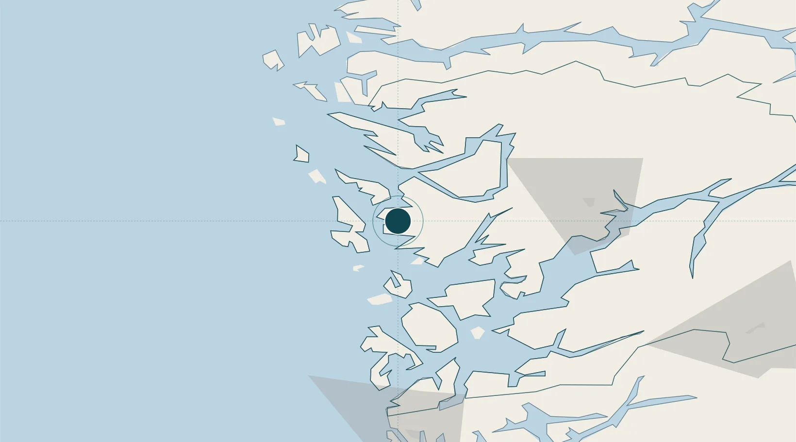
Location
Nearby Logistics Neighbours
Ports
- 1Brattholmen4 km
- 2Bergen9 km
- 3Vaksdal32 km
- 4Stura38 km
- 5Norheimsund51 km
Cities
- 1Straume3 km
- 2Kokstad4 km
- 3Brattholmen5 km
- 4Skålevik6 km
- 5Knarrevik6 km
Airports
- 1Bergen Airport, Flesland5 km
- 2Stord Airport, Sørstokken61 km
- 3Haugesund Airport, Karmøy110 km
- 4Førde Airport, Bringeland121 km
- 5Sogndal Airport, Haukåsen138 km
Trade Zones
DatabookThe Record of Consolidated Knowledge
Norway beyond logistics?