Transport Functions
Port
Road
Hub Profile
Region
18
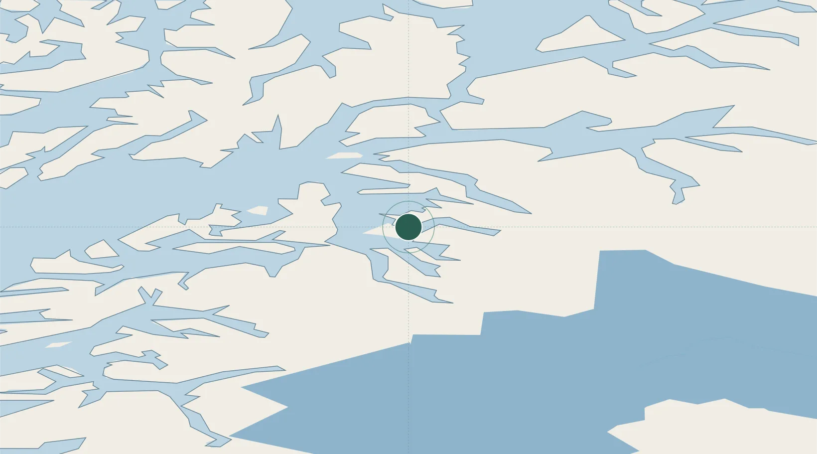
Location
Nearby Logistics Neighbours
Cities
- 1Drag13 km
- 2Evenestangen16 km
- 3Bognes19 km
- 4Innhavet22 km
- 5Ballangen34 km
Ports
- 1Drag12 km
- 2Tranoy30 km
- 3Litle Ballangen37 km
- 4Lodingen40 km
- 5Lilandsgrunnen49 km
Airports
- 1Harstad/Narvik Airport47 km
- 2Svolvær Airport, Helle72 km
- 3Stokmarknes Airport, Skagen77 km
- 4Leknes Airport114 km
- 5Bodø Airport123 km
Trade Zones
- 1Oulu Port Free Warehouse Area527 km
- 2Turku Free Zone894 km
- 3Free Zone of Lappeenranta960 km
- 4Freeport of Hanko970 km
- 5Stockholm Free Zone975 km
DatabookThe Record of Consolidated Knowledge
Norway beyond logistics?