Transport Functions
Port
Hub Profile
Place type
Populated place
Region
Nordland
Time zone
Europe/Oslo
Elevation
33 m
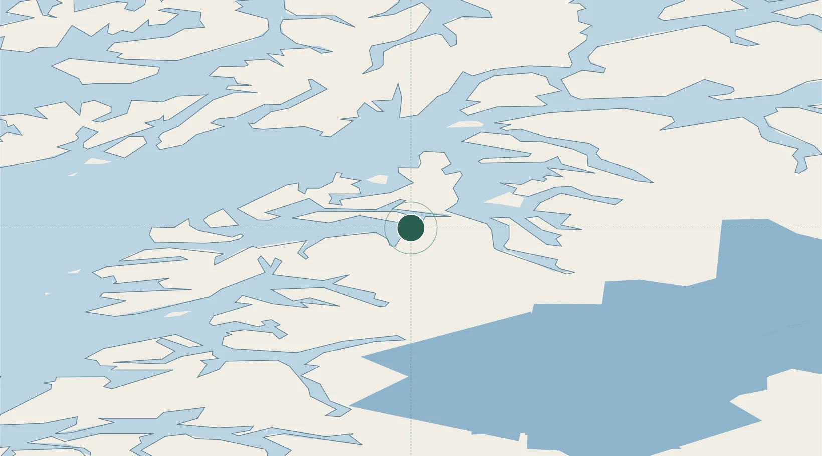
Location
Nearby Logistics Neighbours
Cities
- 1Evenestangen7 km
- 2Drag10 km
- 3Kjøpsvik22 km
- 4Bognes29 km
- 5Mørsvikbotn30 km
Ports
- 1Drag12 km
- 2Tranoy26 km
- 3Lodingen50 km
- 4Brettesnes53 km
- 5Skrova Havn57 km
Airports
- 1Svolvær Airport, Helle60 km
- 2Harstad/Narvik Airport66 km
- 3Stokmarknes Airport, Skagen77 km
- 4Leknes Airport98 km
- 5Bodø Airport102 km
Trade Zones
- 1Oulu Port Free Warehouse Area534 km
- 2Turku Free Zone889 km
- 3Stockholm Free Zone964 km
- 4Freeport of Hanko966 km
- 5Port of Hamina-Kotka986 km
DatabookThe Record of Consolidated Knowledge
Norway beyond logistics?