Transport Functions
Port
Hub Profile
Place type
Populated place
Region
Nordland
Time zone
Europe/Oslo
Elevation
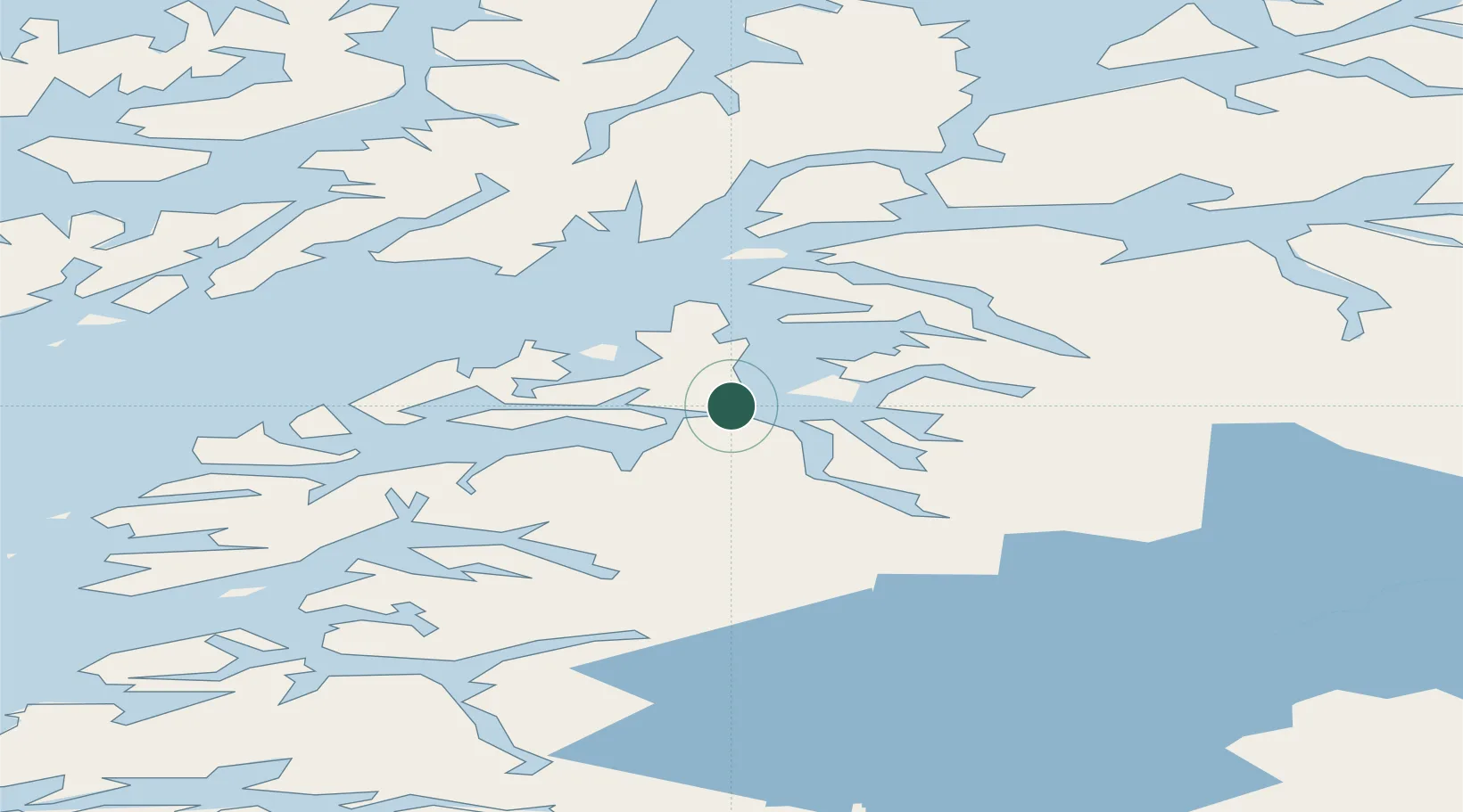
1 m
Location
Nearby Logistics Neighbours
Cities
- 1Evenestangen3 km
- 2Innhavet10 km
- 3Kjøpsvik13 km
- 4Bognes20 km
- 5Mørsvikbotn38 km
Ports
- 1Tranoy23 km
- 2Lodingen43 km
- 3Litle Ballangen48 km
- 4Brettesnes55 km
- 5Ulvik59 km
Airports
- 1Harstad/Narvik Airport57 km
- 2Svolvær Airport, Helle62 km
- 3Stokmarknes Airport, Skagen74 km
- 4Leknes Airport103 km
- 5Bodø Airport111 km
Trade Zones
- 1Oulu Port Free Warehouse Area533 km
- 2Turku Free Zone894 km
- 3Free Zone of Lappeenranta964 km
- 4Freeport of Hanko970 km
- 5Stockholm Free Zone971 km
DatabookThe Record of Consolidated Knowledge
Norway beyond logistics?