Transport Functions
Port
Road
Hub Profile
Place type
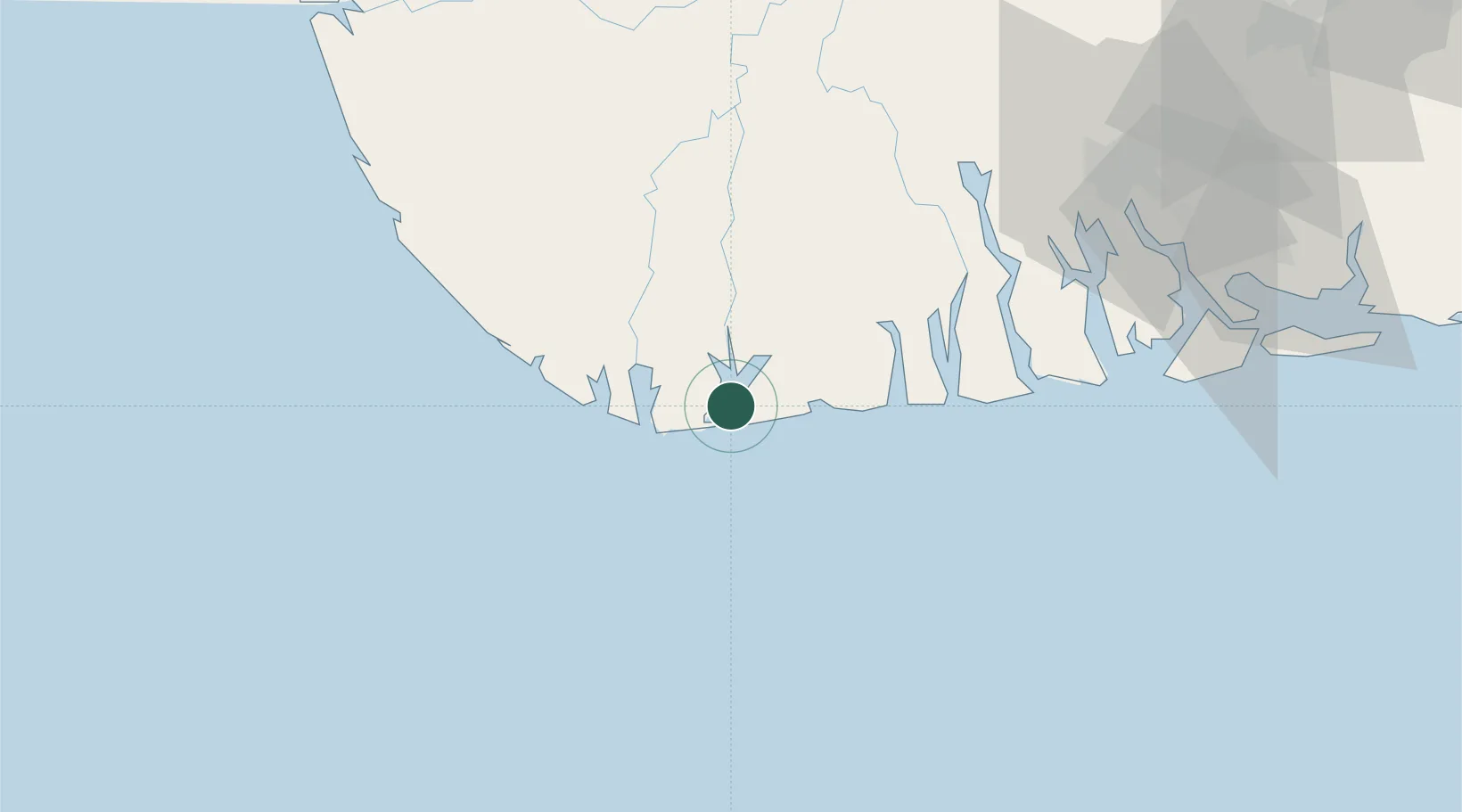
Populated place
Region
Bayelsa State
Time zone
Africa/Lagos
Elevation
19 m
Location
Nearby Logistics Neighbours
Cities
- 1Olodi57 km
- 2Okwori96 km
- 3Port Harcourt97 km
- 4Onne107 km
- 5Ea Terminal118 km
Ports
- 1Brass Oil Terminal30 km
- 2Pennington Oil Terminal71 km
- 3Port Harcourt96 km
- 4Okwori Terminal98 km
- 5Okrika102 km
Airports
DatabookThe Record of Consolidated Knowledge
Nigeria beyond logistics?