Transport Functions
Multimodal
Hub Profile
Place type
Populated place
Region
Bayelsa State
Time zone
Africa/Lagos
Elevation
134 m
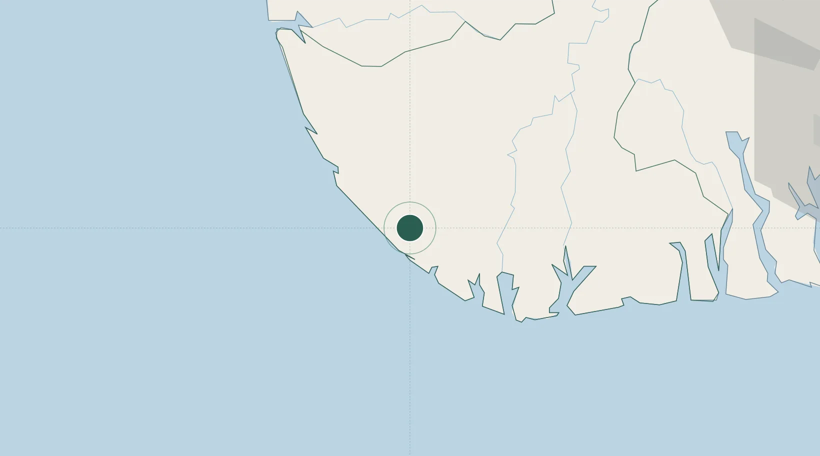
Location
Nearby Logistics Neighbours
Cities
- 1Kirikakiri57 km
- 2Ea Terminal61 km
- 3Agbami119 km
- 4Bonga120 km
- 5Port Harcourt138 km
Ports
- 1Pennington Oil Terminal38 km
- 2Brass Oil Terminal77 km
- 3Burutu94 km
- 4Forcados96 km
- 5Warri108 km
Airports
Trade Zones
DatabookThe Record of Consolidated Knowledge
Nigeria beyond logistics?