UN/LOCODE hub · Malaysia
MYJAM

Jambongan, Sabah

6.6667°, 117.5000°
1
Transport functions

Transport Functions

Port
UN/LOCODE

Hub Profile

Region
12
GeoNames

Location

Location of MYJAM
Natural Earth 10m (public domain) · 12 · MYJAM · 6.67, 117.50GoogleOSMYandex

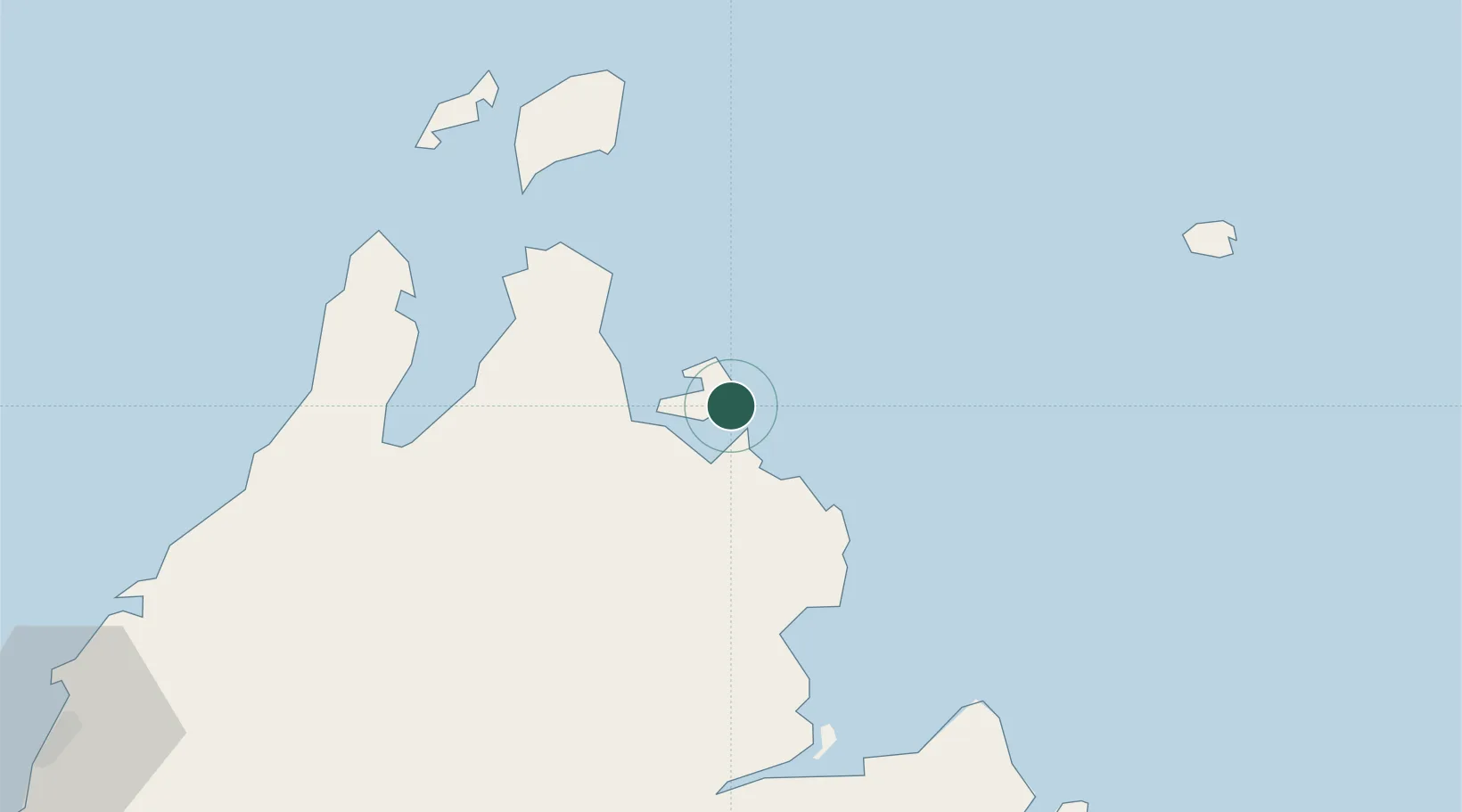
Nearby Logistics Neighbours

Cities
  1. 1Kota Marudu83 km
  2. 2Beluran, Sabah87 km
  3. 3Bangau94 km
  4. 4Sandakan, Sabah114 km
  5. 5Kota Belud, Sabah123 km
Nearest neighbours — logibook spatial index (haversine) over the source coordinates
Ports
  1. 1Kudat76 km
  2. 2Pelabuhan Sandakan115 km
  3. 3Kota Kinabalu176 km
  4. 4Lahad Datu205 km
  5. 5Bakapit225 km
Nearest neighbours — logibook spatial index (haversine) over the source coordinates
Airports
  1. 1Kudat Airport79 km
  2. 2Sandakan Airport105 km
  3. 3Kota Kinabalu International Airport180 km
  4. 4Tomanggong Airport190 km
  5. 5Lahad Datu Airport203 km
Nearest neighbours — logibook spatial index (haversine) over the source coordinates
Trade Zones
  1. 1Sabah Development Corridor177 km
  2. 2Rio Tuba Export Processing Zone209 km
  3. 3Brookes Point Agro-Industrial Economic Zone238 km
  4. 4Labuan Offshore Financial Centre293 km
  5. 5Muara Export Zone325 km
Nearest neighbours — logibook spatial index (haversine) over the source coordinates
DatabookThe Record of Consolidated Knowledge
Malaysia beyond logistics?
Browse databook

All Sources

LocationsUN/LOCODE
UN/LOCODE — free
Portsthe NGA World Port Index
Public domain (US gov)
AirportsOurAirports
Public domain
Trade Zonesthe World Bank SEZ database
CC BY 4.0
Trade ZonesOpen Zone Map
CC BY
← Malaysia locations