UN/LOCODE hub · Malaysia
MYLGK

Langkawi

6.3667°, 99.8000°
3
Transport functions

Transport Functions

Port
Road
Airport
Langkawi is also a profiled seaport →
UN/LOCODE

Hub Profile

Region
02
GeoNames

Location

Location of MYLGK
Natural Earth 10m (public domain) · 02 · MYLGK · 6.37, 99.80GoogleOSMYandex

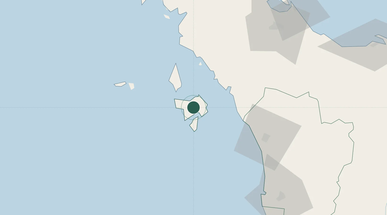
Nearby Logistics Neighbours

Cities
  1. 1Tanjung Lembung9 km
  2. 2Satun41 km
  3. 3Bukit Keteri53 km
  4. 4Pakbara56 km
  5. 5Padang Besar, Thailand65 km
Nearest neighbours — logibook spatial index (haversine) over the source coordinates
Ports
  1. 1Kantang Harbor119 km
  2. 2Pulau Pinang122 km
  3. 3Songkhla Harbor128 km
  4. 4Pattani178 km
  5. 5Krabi213 km
Nearest neighbours — logibook spatial index (haversine) over the source coordinates
Airports
  1. 1Langkawi International Airport9 km
  2. 2Sultan Abdul Halim Airport69 km
  3. 3Hat Yai International Airport91 km
  4. 4RMAF Butterworth Air Base120 km
  5. 5Songkhla Airport128 km
Nearest neighbours — logibook spatial index (haversine) over the source coordinates
DatabookThe Record of Consolidated Knowledge
Malaysia beyond logistics?
Browse databook

All Sources

LocationsUN/LOCODE
UN/LOCODE — free
Portsthe NGA World Port Index
Public domain (US gov)
AirportsOurAirports
Public domain
Trade Zonesthe World Bank SEZ database
CC BY 4.0
Trade ZonesOpen Zone Map
CC BY
← Malaysia locations