UN/LOCODE hub · Malaysia
MYTAG

Tanjung Lembung

6.2833°, 99.7833°
2
Transport functions

Transport Functions

Port
Road
UN/LOCODE

Hub Profile

Region
02
GeoNames

Location

Location of MYTAG
Natural Earth 10m (public domain) · 02 · MYTAG · 6.28, 99.78GoogleOSMYandex

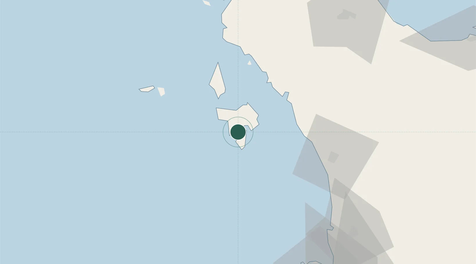
Nearby Logistics Neighbours

Cities
  1. 1Langkawi9 km
  2. 2Satun49 km
  3. 3Bukit Keteri59 km
  4. 4Pakbara65 km
  5. 5Padang Besar, Thailand72 km
Nearest neighbours — logibook spatial index (haversine) over the source coordinates
Ports
  1. 1Port Langkawi17 km
  2. 2Pulau Pinang115 km
  3. 3Kantang Harbor128 km
  4. 4Songkhla Harbor136 km
  5. 5Pattani183 km
Nearest neighbours — logibook spatial index (haversine) over the source coordinates
Airports
  1. 1Langkawi International Airport8 km
  2. 2Sultan Abdul Halim Airport69 km
  3. 3Hat Yai International Airport99 km
  4. 4RMAF Butterworth Air Base113 km
  5. 5Penang International Airport123 km
Nearest neighbours — logibook spatial index (haversine) over the source coordinates
DatabookThe Record of Consolidated Knowledge
Malaysia beyond logistics?
Browse databook

All Sources

LocationsUN/LOCODE
UN/LOCODE — free
Portsthe NGA World Port Index
Public domain (US gov)
AirportsOurAirports
Public domain
Trade Zonesthe World Bank SEZ database
CC BY 4.0
Trade ZonesOpen Zone Map
CC BY
← Malaysia locations