UN/LOCODE hub · Mexico
MXBDR

Boca del Río

19.1167°, -96.1167°
9,947
Population
2
Transport functions

Transport Functions

Port
Road
UN/LOCODE

Hub Profile

Place type
Provincial seat
GeoNames
Region
Veracruz
GeoNames
Population
9,947
GeoNames
Time zone
America/Mexico_City
GeoNames
Elevation
11 m
GeoNames

Location

Location of MXBDR
Natural Earth 10m (public domain) · Veracruz · MXBDR · 19.12, -96.12GoogleOSMYandex

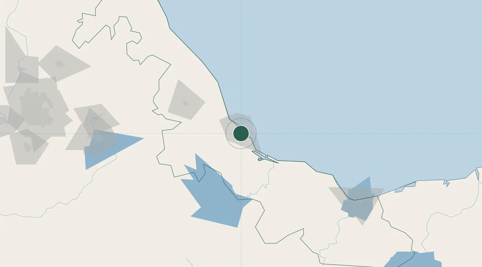
Nearby Logistics Neighbours

Cities
  1. 1Veracruz13 km
  2. 2Fortin de las Flores18 km
  3. 3Cotaxtla42 km
  4. 4San Jose Chipila54 km
  5. 5Jose Azueta67 km
Nearest neighbours — logibook spatial index (haversine) over the source coordinates
Ports
  1. 1Veracruz9 km
  2. 2Coatzacoalcos209 km
  3. 3Minatitlan211 km
  4. 4Nanchital214 km
  5. 5Tuxpan244 km
Nearest neighbours — logibook spatial index (haversine) over the source coordinates
Airports
  1. 1General Heriberto Jara International Airport8 km
  2. 2El Lencero Airport82 km
  3. 3Minatitlán/Coatzacoalcos International Airport197 km
  4. 4El Tajín National Airport217 km
  5. 5Hermanos Serdán International Airport237 km
Nearest neighbours — logibook spatial index (haversine) over the source coordinates
Trade Zones
  1. 1Special Economic Zone of Coatzacoalcos203 km
  2. 2Zona Economica Especial de Tabasco311 km
  3. 3Special Economic Zone of Salina Cruz341 km
  4. 4Special Economic Zone of Campeche578 km
  5. 5Special Economic Zone of Puerto Chiapas630 km
Nearest neighbours — logibook spatial index (haversine) over the source coordinates
DatabookThe Record of Consolidated Knowledge
Mexico beyond logistics?
Browse databook

All Sources

LocationsUN/LOCODE
UN/LOCODE — free
LocationsGeoNames
CC BY 4.0
Portsthe NGA World Port Index
Public domain (US gov)
AirportsOurAirports
Public domain
Trade Zonesthe World Bank SEZ database
CC BY 4.0
Trade ZonesOpen Zone Map
CC BY
← Mexico locations