UN/LOCODE hub · Mexico
MXVER
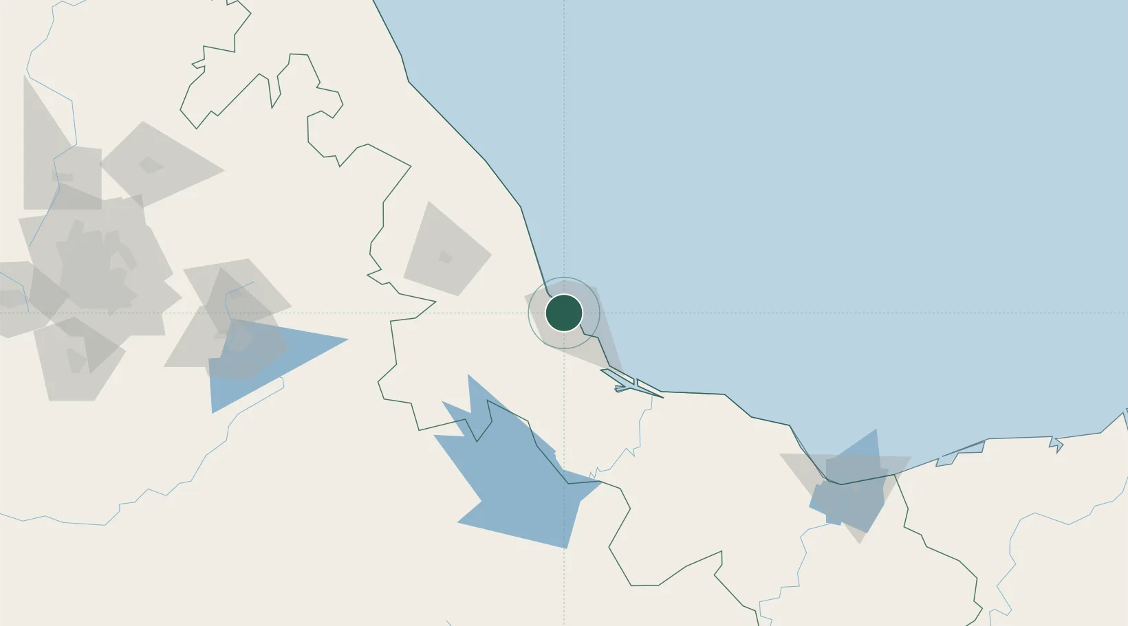
Veracruz
19.2106°, -96.1867°
428,323
Population
4
Transport functions
3
Container terminals
Transport Functions
Port
Road
Airport
Postal
Hub Profile
Place type
Provincial seat
Region
Veracruz
Population
428,323
Time zone
America/Mexico_City
Elevation
15 m
Logistics facilities
20
Container terminals
3
Location
Nearby Logistics Neighbours
Cities
- 1Fortin de las Flores7 km
- 2Boca del Río13 km
- 3San Jose Chipila44 km
- 4Cotaxtla47 km
- 5Cuitláhuac71 km
Ports
- 1Coatzacoalcos221 km
- 2Minatitlan223 km
- 3Nanchital226 km
- 4Tuxpan231 km
- 5Dos Bocas Terminal324 km
Airports
Trade Zones
DatabookThe Record of Consolidated Knowledge
Mexico beyond logistics?