UN/LOCODE hub · Mexico
MXCUI

Cuitláhuac

18.8167°, -96.7167°
13,651
Population
1
Transport functions

Transport Functions

Multimodal
UN/LOCODE

Hub Profile

Place type
Provincial seat
GeoNames
Region
Veracruz
GeoNames
Population
13,651
GeoNames
Time zone
America/Mexico_City
GeoNames
Elevation
378 m
GeoNames

Location

Location of MXCUI
Natural Earth 10m (public domain) · Veracruz · MXCUI · 18.82, -96.72GoogleOSMYandex

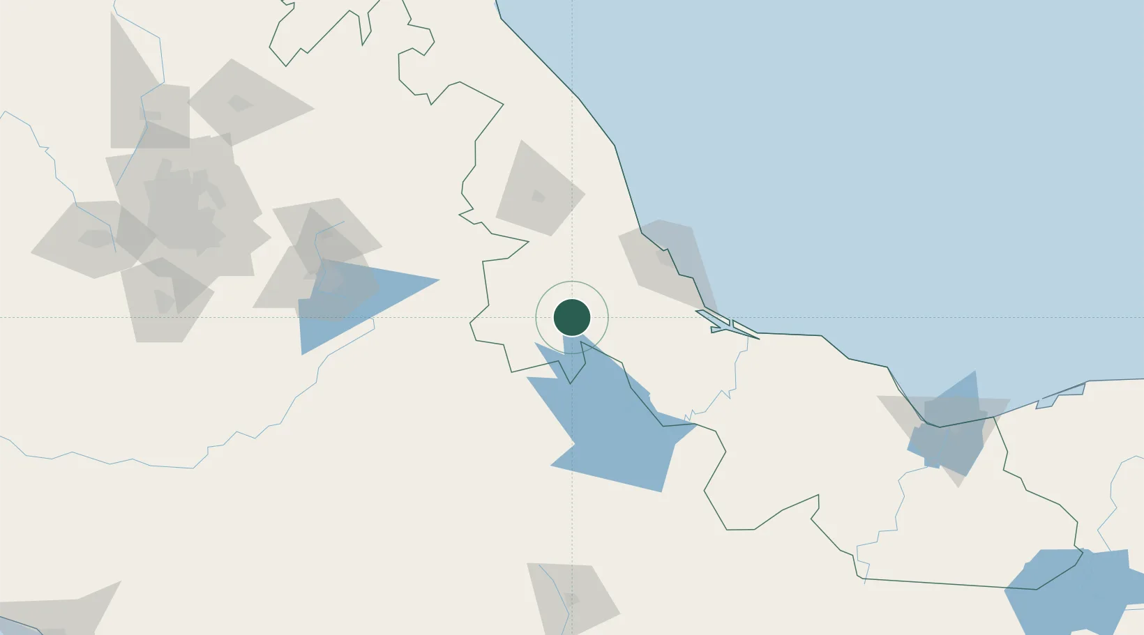
Nearby Logistics Neighbours

Cities
  1. 1Cotaxtla35 km
  2. 2Río Blanco46 km
  3. 3San Jose Chipila53 km
  4. 4Fortin de las Flores66 km
  5. 5Veracruz71 km
Nearest neighbours — logibook spatial index (haversine) over the source coordinates
Ports
  1. 1Veracruz75 km
  2. 2Minatitlan247 km
  3. 3Tuxpan248 km
  4. 4Coatzacoalcos254 km
  5. 5Nanchital257 km
Nearest neighbours — logibook spatial index (haversine) over the source coordinates
Airports
  1. 1General Heriberto Jara International Airport66 km
  2. 2El Lencero Airport74 km
  3. 3Hermanos Serdán International Airport178 km
  4. 4Xoxocotlán International Airport202 km
  5. 5El Tajín National Airport213 km
Nearest neighbours — logibook spatial index (haversine) over the source coordinates
DatabookThe Record of Consolidated Knowledge
Mexico beyond logistics?
Browse databook

All Sources

LocationsUN/LOCODE
UN/LOCODE — free
LocationsGeoNames
CC BY 4.0
Portsthe NGA World Port Index
Public domain (US gov)
AirportsOurAirports
Public domain
Trade Zonesthe World Bank SEZ database
CC BY 4.0
Trade ZonesOpen Zone Map
CC BY
← Mexico locations