UN/LOCODE hub · Mexico
MXFLF

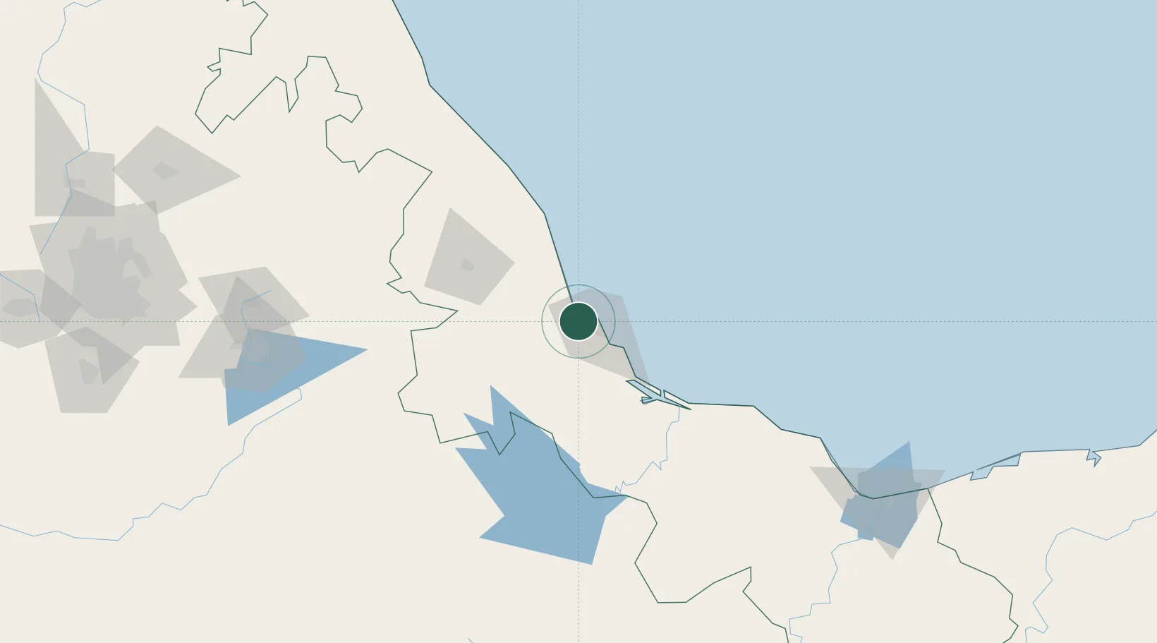
Fortin de las Flores

19.2167°, -96.2500°
21,370
Population
1
Transport functions

Transport Functions

Multimodal
UN/LOCODE

Hub Profile

Place type
Populated place
GeoNames
Region
Veracruz
GeoNames
Population
21,370
GeoNames
Time zone
America/Mexico_City
GeoNames
Elevation
1,048 m
GeoNames

Location

Location of MXFLF
Natural Earth 10m (public domain) · Veracruz · MXFLF · 19.22, -96.25GoogleOSMYandex

Nearby Logistics Neighbours

Cities
  1. 1Veracruz7 km
  2. 2Boca del Río18 km
  3. 3San Jose Chipila38 km
  4. 4Cotaxtla45 km
  5. 5Cuitláhuac66 km
Nearest neighbours — logibook spatial index (haversine) over the source coordinates
Ports
  1. 1Veracruz12 km
  2. 2Coatzacoalcos227 km
  3. 3Tuxpan227 km
  4. 4Minatitlan229 km
  5. 5Nanchital232 km
Nearest neighbours — logibook spatial index (haversine) over the source coordinates
Airports
  1. 1General Heriberto Jara International Airport11 km
  2. 2El Lencero Airport64 km
  3. 3El Tajín National Airport199 km
  4. 4Minatitlán/Coatzacoalcos International Airport215 km
  5. 5Hermanos Serdán International Airport223 km
Nearest neighbours — logibook spatial index (haversine) over the source coordinates
DatabookThe Record of Consolidated Knowledge
Mexico beyond logistics?
Browse databook

All Sources

LocationsUN/LOCODE
UN/LOCODE — free
LocationsGeoNames
CC BY 4.0
Portsthe NGA World Port Index
Public domain (US gov)
AirportsOurAirports
Public domain
Trade Zonesthe World Bank SEZ database
CC BY 4.0
Trade ZonesOpen Zone Map
CC BY
← Mexico locations