Transport Functions
Port
Road
Multimodal
Hub Profile
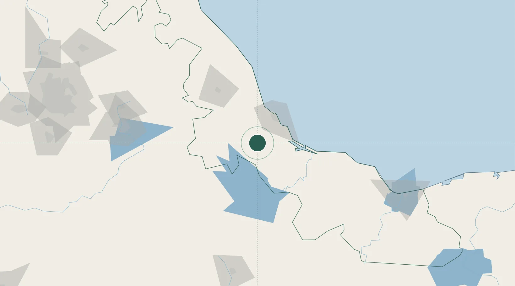
Place type
Populated place
Region
Veracruz
Population
1,167
Time zone
America/Mexico_City
Elevation
43 m
Location
Nearby Logistics Neighbours
Cities
- 1Cuitláhuac35 km
- 2Boca del Río42 km
- 3Fortin de las Flores45 km
- 4Veracruz47 km
- 5San Jose Chipila55 km
Ports
- 1Veracruz49 km
- 2Minatitlan217 km
- 3Coatzacoalcos221 km
- 4Nanchital224 km
- 5Tuxpan258 km
Airports
DatabookThe Record of Consolidated Knowledge
Mexico beyond logistics?