UN/LOCODE hub · Mexico
MXCOA
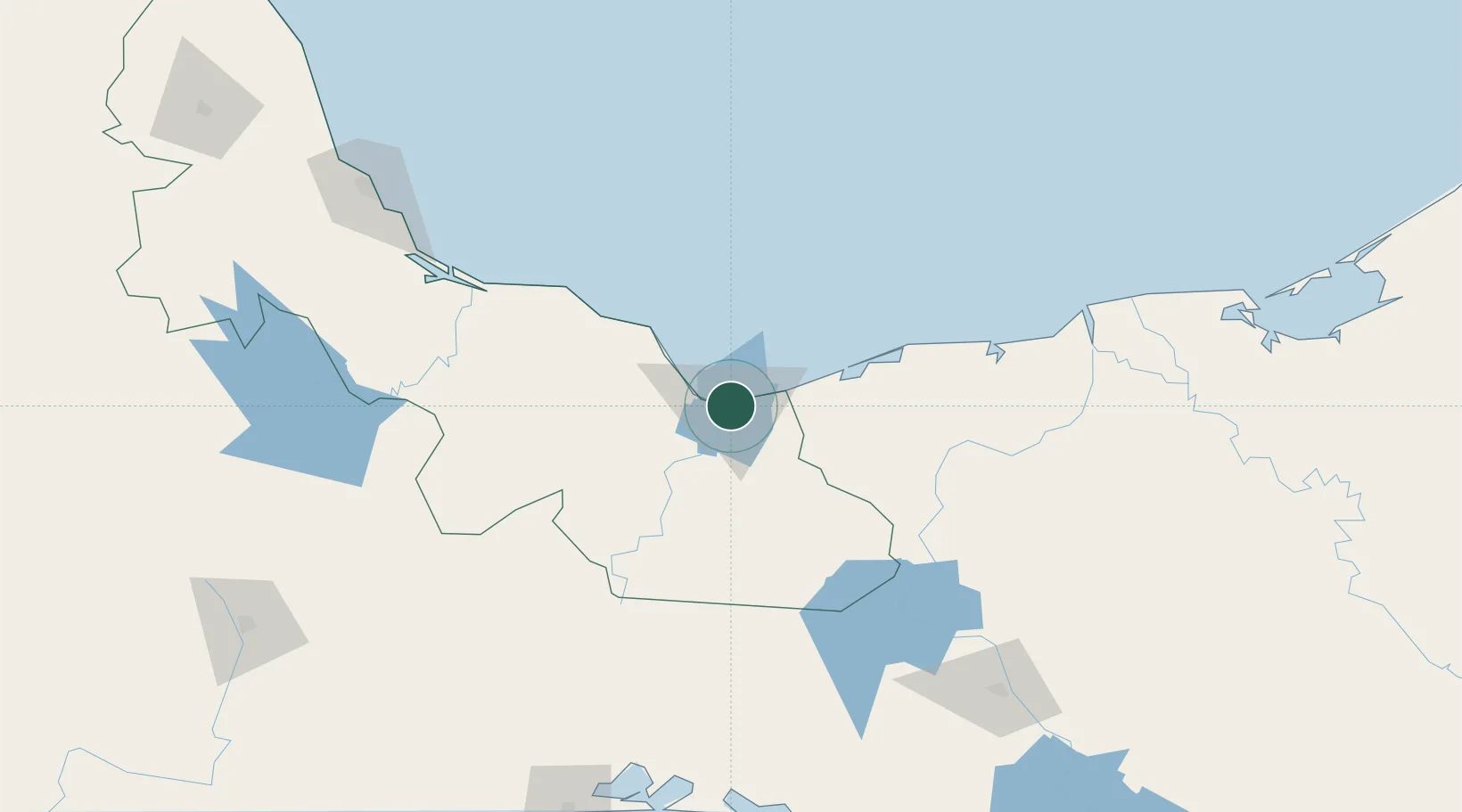
Coatzacoalcos
18.1333°, -94.4000°
310,698
Population
2
Transport functions
Transport Functions
Port
Airport
Hub Profile
Place type
Populated place
Region
Veracruz
Population
310,698
Time zone
America/Mexico_City
Elevation
11 m
Location
Nearby Logistics Neighbours
Cities
- 1Pajaritos3 km
- 2Rabon Grande/Coatzacoalcos9 km
- 3Ixhuatlan del Sureste13 km
- 4Cosoleacaque24 km
- 5Dos Bocas Terminal135 km
Ports
- 1Nanchital8 km
- 2Minatitlan32 km
- 3Dos Bocas Terminal129 km
- 4Frontera190 km
- 5Veracruz218 km
Airports
Trade Zones
DatabookThe Record of Consolidated Knowledge
Mexico beyond logistics?