Transport Functions
Port
Road
Multimodal
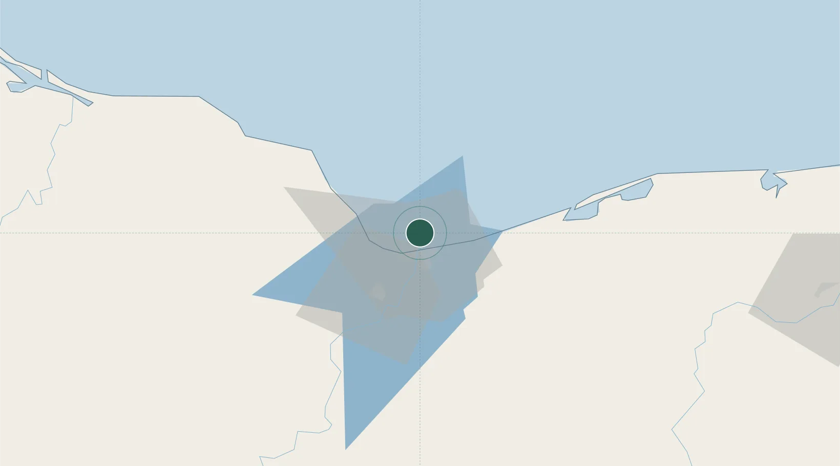
Hub Profile
Region
VER
Location
Nearby Logistics Neighbours
Cities
- 1Coatzacoalcos9 km
- 2Pajaritos11 km
- 3Ixhuatlan del Sureste22 km
- 4Cosoleacaque29 km
- 5Dos Bocas Terminal132 km
Ports
- 1Coatzacoalcos8 km
- 2Nanchital17 km
- 3Minatitlan40 km
- 4Dos Bocas Terminal127 km
- 5Frontera188 km
Airports
Trade Zones
DatabookThe Record of Consolidated Knowledge
Mexico beyond logistics?