UN/LOCODE hub · Mexico
MXPAJ

Pajaritos

18.1167°, -94.3833°
55
Population
1
Transport functions

Transport Functions

Port
UN/LOCODE

Hub Profile

Place type
Populated place
GeoNames
Region
Veracruz
GeoNames
Population
55
GeoNames
Time zone
America/Mexico_City
GeoNames
Elevation
21 m
GeoNames

Location

Location of MXPAJ
Natural Earth 10m (public domain) · Veracruz · MXPAJ · 18.12, -94.38GoogleOSMYandex

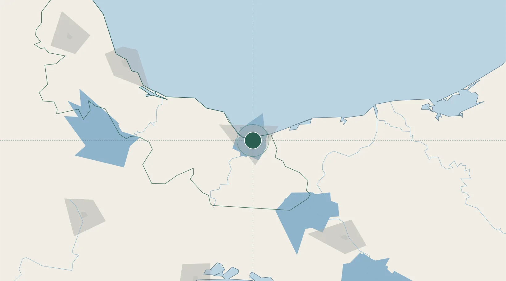
Nearby Logistics Neighbours

Cities
  1. 1Coatzacoalcos3 km
  2. 2Ixhuatlan del Sureste11 km
  3. 3Rabon Grande/Coatzacoalcos11 km
  4. 4Cosoleacaque24 km
  5. 5Dos Bocas Terminal134 km
Nearest neighbours — logibook spatial index (haversine) over the source coordinates
Ports
  1. 1Coatzacoalcos5 km
  2. 2Nanchital7 km
  3. 3Minatitlan32 km
  4. 4Dos Bocas Terminal128 km
  5. 5Frontera189 km
Nearest neighbours — logibook spatial index (haversine) over the source coordinates
Trade Zones
  1. 1Special Economic Zone of Coatzacoalcos12 km
  2. 2Zona Economica Especial de Tabasco125 km
  3. 3Special Economic Zone of Salina Cruz236 km
  4. 4Special Economic Zone of Campeche428 km
  5. 5Special Economic Zone of Puerto Chiapas434 km
Nearest neighbours — logibook spatial index (haversine) over the source coordinates
DatabookThe Record of Consolidated Knowledge
Mexico beyond logistics?
Browse databook

All Sources

LocationsUN/LOCODE
UN/LOCODE — free
LocationsGeoNames
CC BY 4.0
Portsthe NGA World Port Index
Public domain (US gov)
AirportsOurAirports
Public domain
Trade Zonesthe World Bank SEZ database
CC BY 4.0
Trade ZonesOpen Zone Map
CC BY
← Mexico locations