Channel & Berth Profile
Pilotage, Tugs & Services
Pilotage compulsoryYES
Pilotage availableYES
Facilities & Capabilities
Container—
Ro-Ro—
Liquid bulk—
Dry bulk—
Oil terminal—
Break bulk—
Dry dock—
Repairs—
Bunkering—
Rail link—
Dangerous cargo—
ISPS security—
Harbour Specifications
Water body
Caribbean Sea; North Atlantic Ocean
Tidal range
1.5 m
Pilotage
Yes
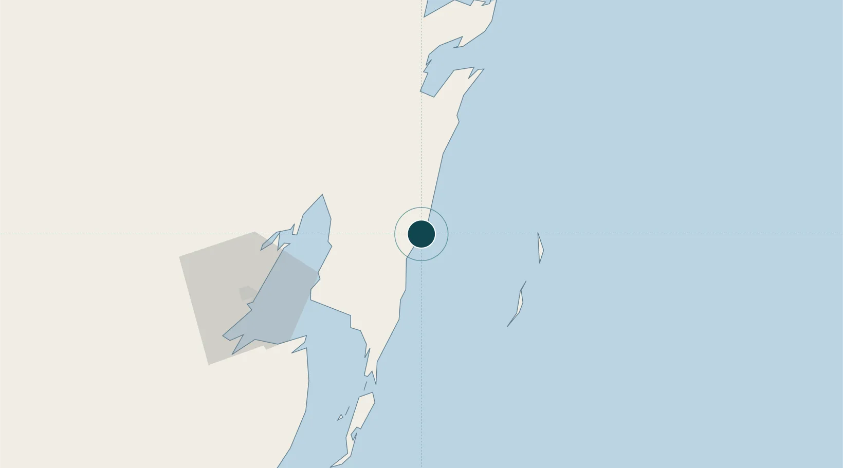
Location
Nearby Logistics Neighbours
Ports
- 1Belize City147 km
- 2San Miguel De Cozumel210 km
- 3Punta Venado212 km
- 4Big Creek258 km
- 5Coxen Hole294 km
Cities
- 1Benque Viejo96 km
- 2Belize City150 km
- 3Dangriga204 km
- 4Punta Venado208 km
- 5Cozumel213 km
Airports
- 1Sartaneja Airport63 km
- 2Chetumal International Airport73 km
- 3Corozal Airport86 km
- 4John Greif II Airport96 km
- 5Caye Caulker Airport117 km
Trade Zones
DatabookThe Record of Consolidated Knowledge
Mexico beyond logistics?