Transport Functions
Port
Road
Hub Profile
Place type
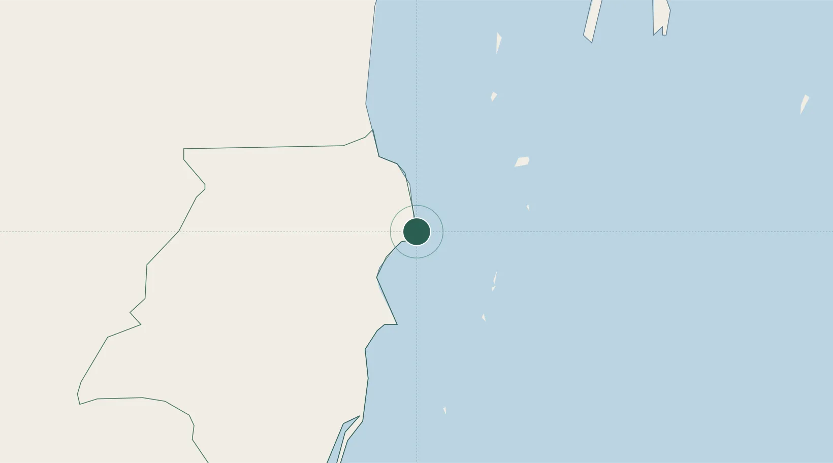
Regional capital
Region
Southern District
Population
9,927
Time zone
America/Belize
Elevation
7 m
Location
Nearby Logistics Neighbours
Cities
- 1Big Creek54 km
- 2Belize City57 km
- 3Barranco131 km
- 4Puerto Cortés131 km
- 5Omoa135 km
Ports
- 1Big Creek54 km
- 2Belize City59 km
- 3Puerto Cortes129 km
- 4Puerto Barrios143 km
- 5Santo Tomas De Castilla147 km
Airports
- 1Dangriga Airport2 km
- 2Placencia Airport50 km
- 3Independence Airport54 km
- 4Big Creek Airport54 km
- 5Sir Barry Bowen Municipal Airport61 km
Trade Zones
DatabookThe Record of Consolidated Knowledge
Belize beyond logistics?